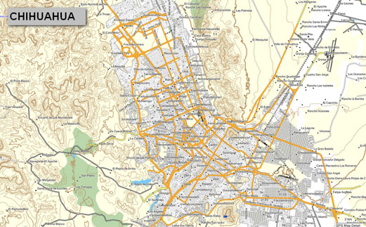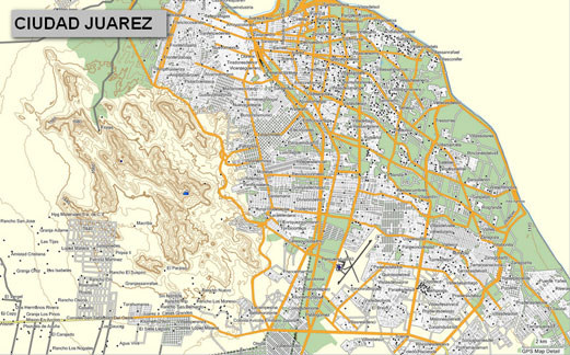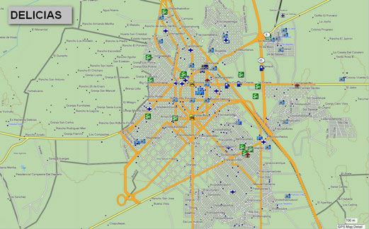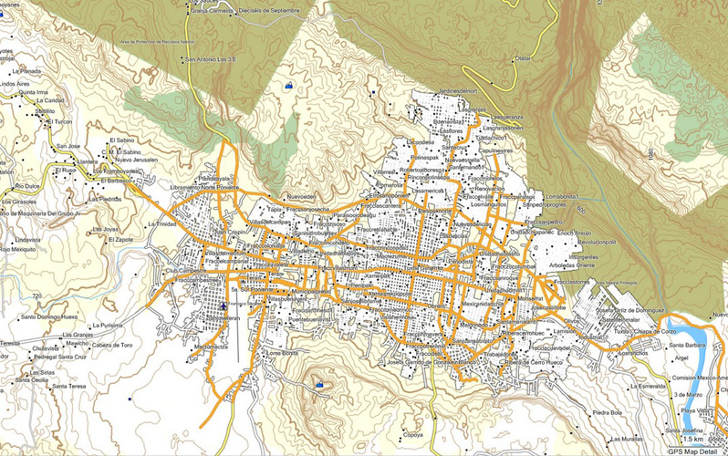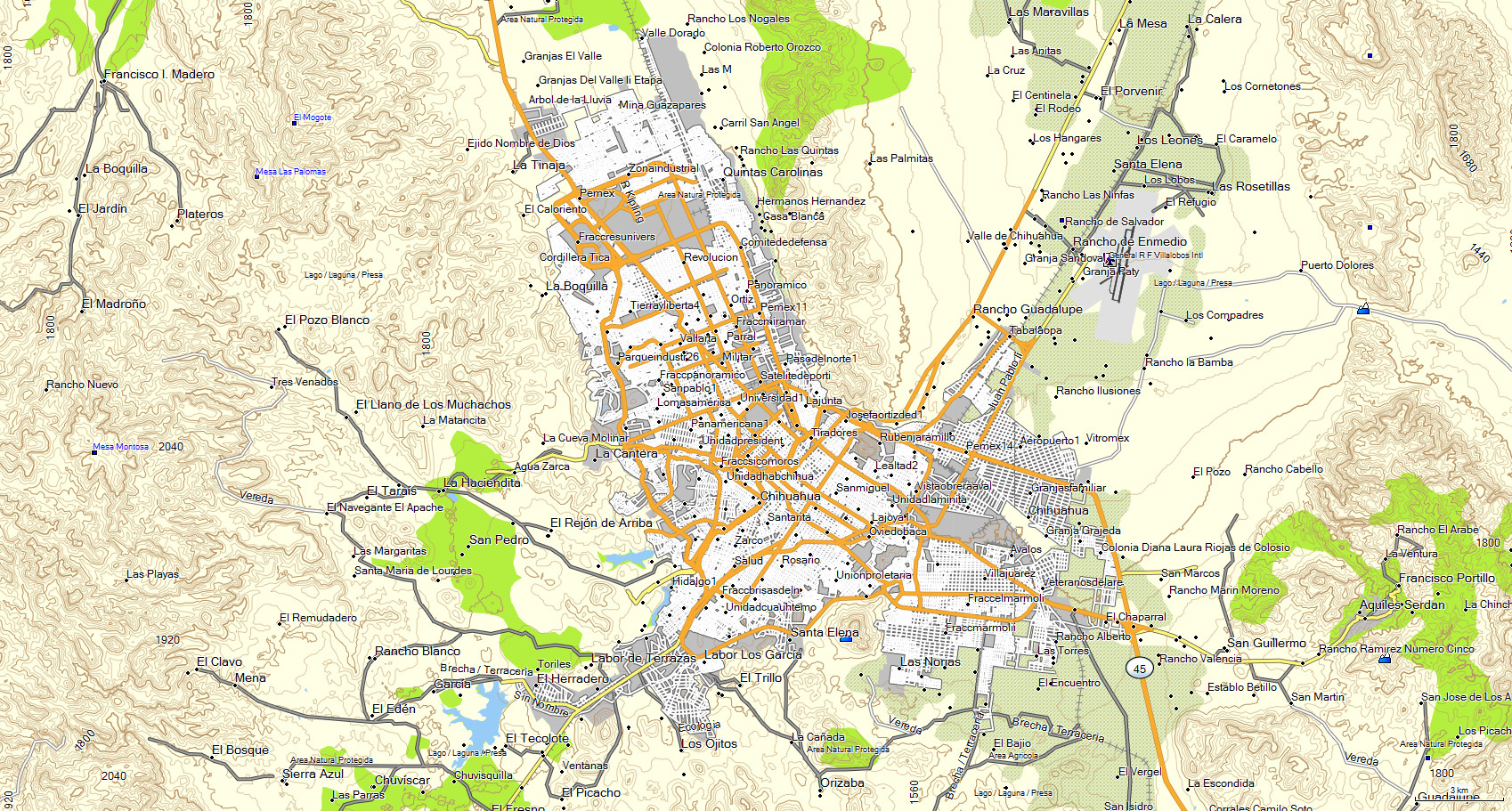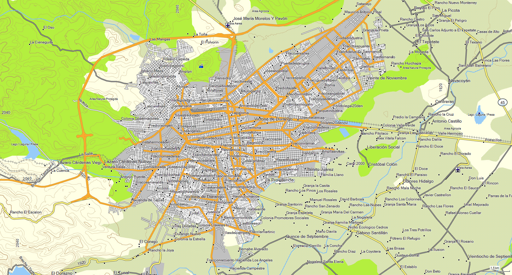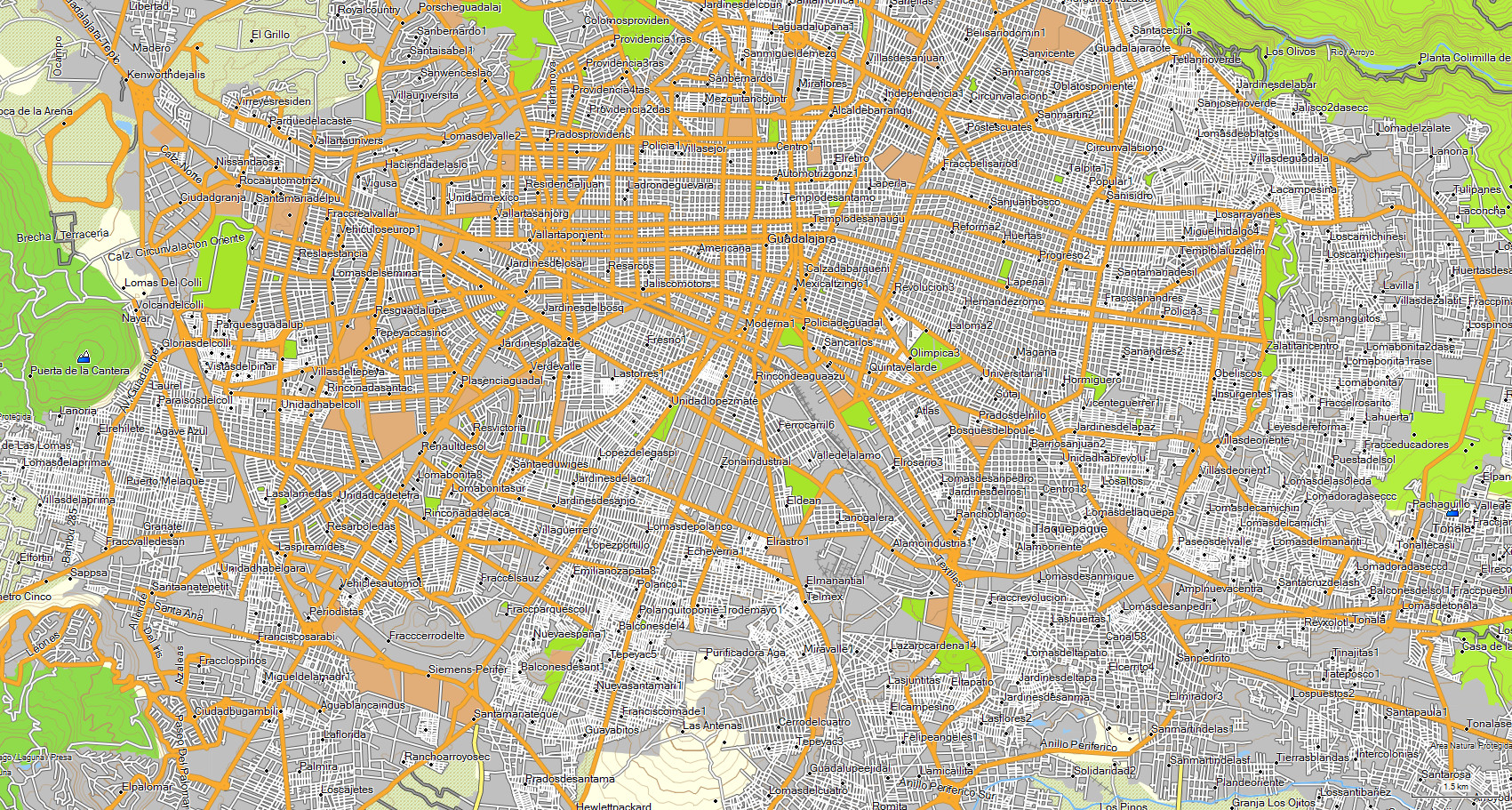
The state of CHIHUAHUA includes cities with street and avenue name,
which you can search through entering data such as: State, city, street or street crossing.
Included cities: Aldama, Ascencion, Bahuichivo, Batopilas, Cañon del Cobre, Casas Grandes, Cerocahui, Chihuahua,
Ciudad Camargo, Ciudad Cuauhtemoc, Ciudad Delicias, Ciudad Juarez, Ciudad Madera, Creel, Cusarare, Divisadero, Guachochi, Hidalgo del
Parral, Jimenez, La Junta, Meoqui, Namiquipa, Nuevo Casas Grandes, Ojinaga, Posada Barrancas, San Francisco de Conchos, Villa Ahumada
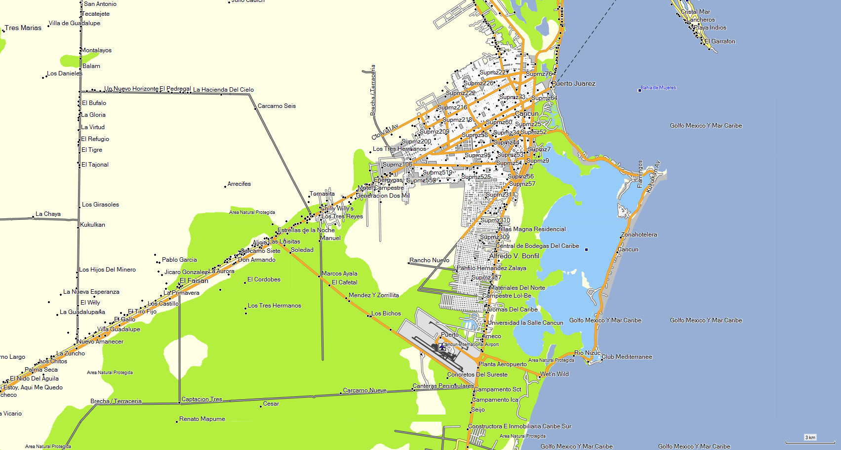
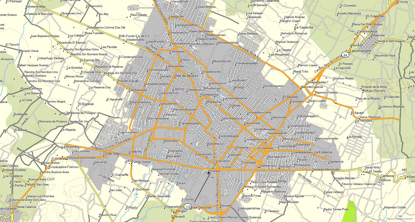
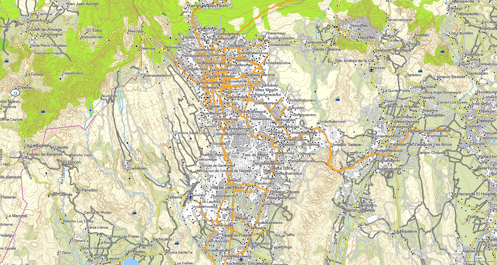
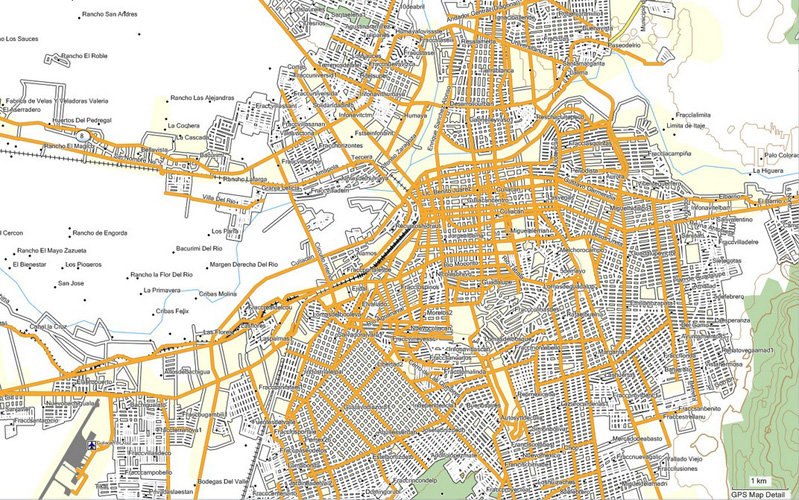
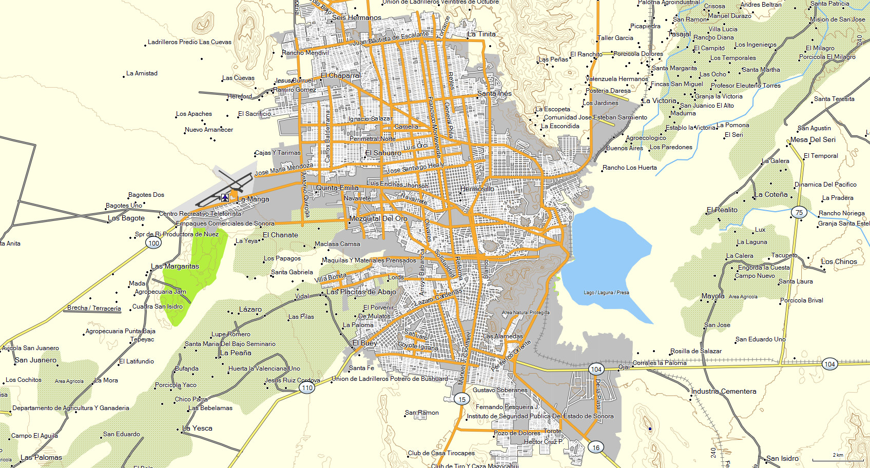
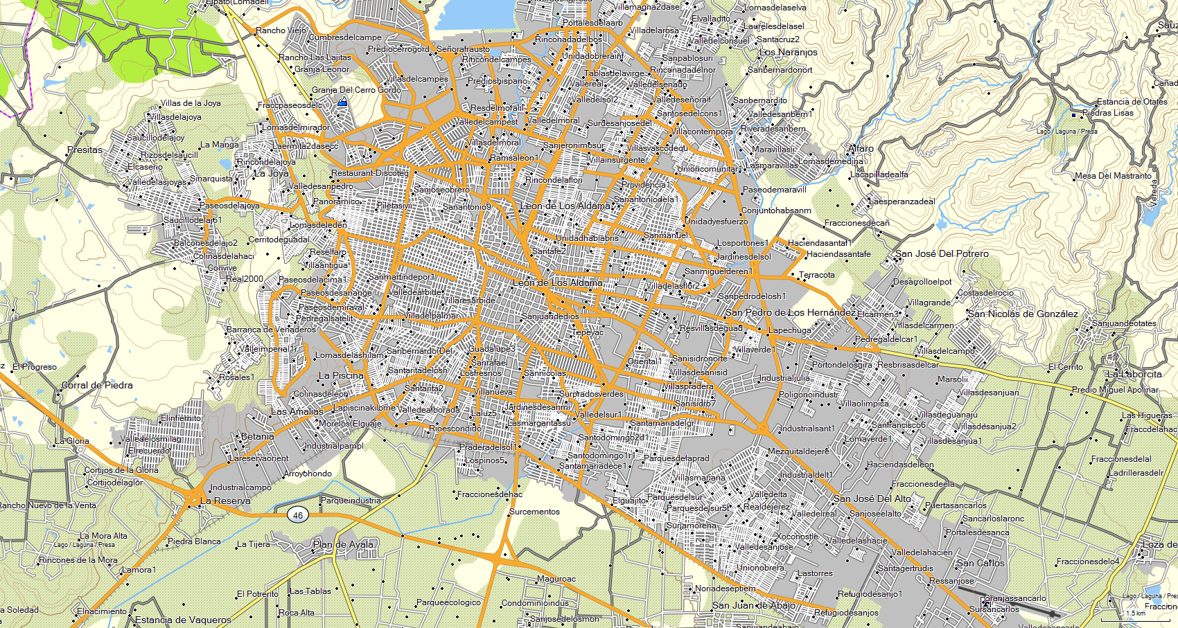
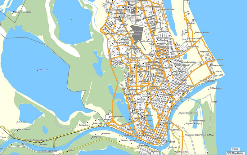
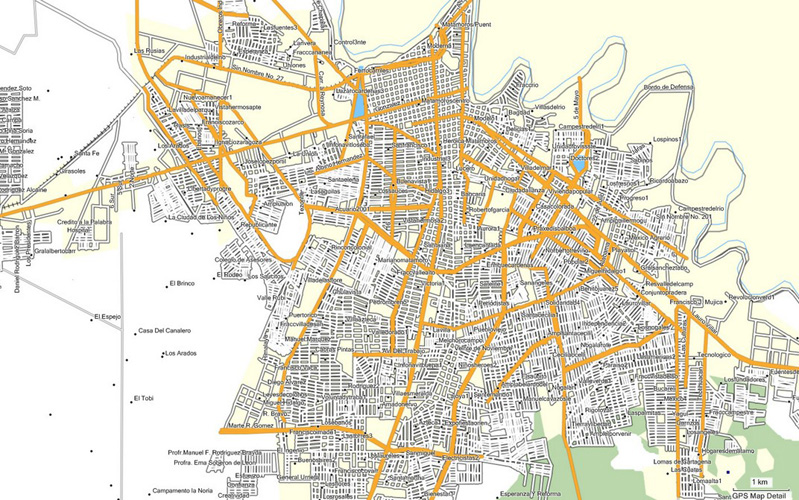
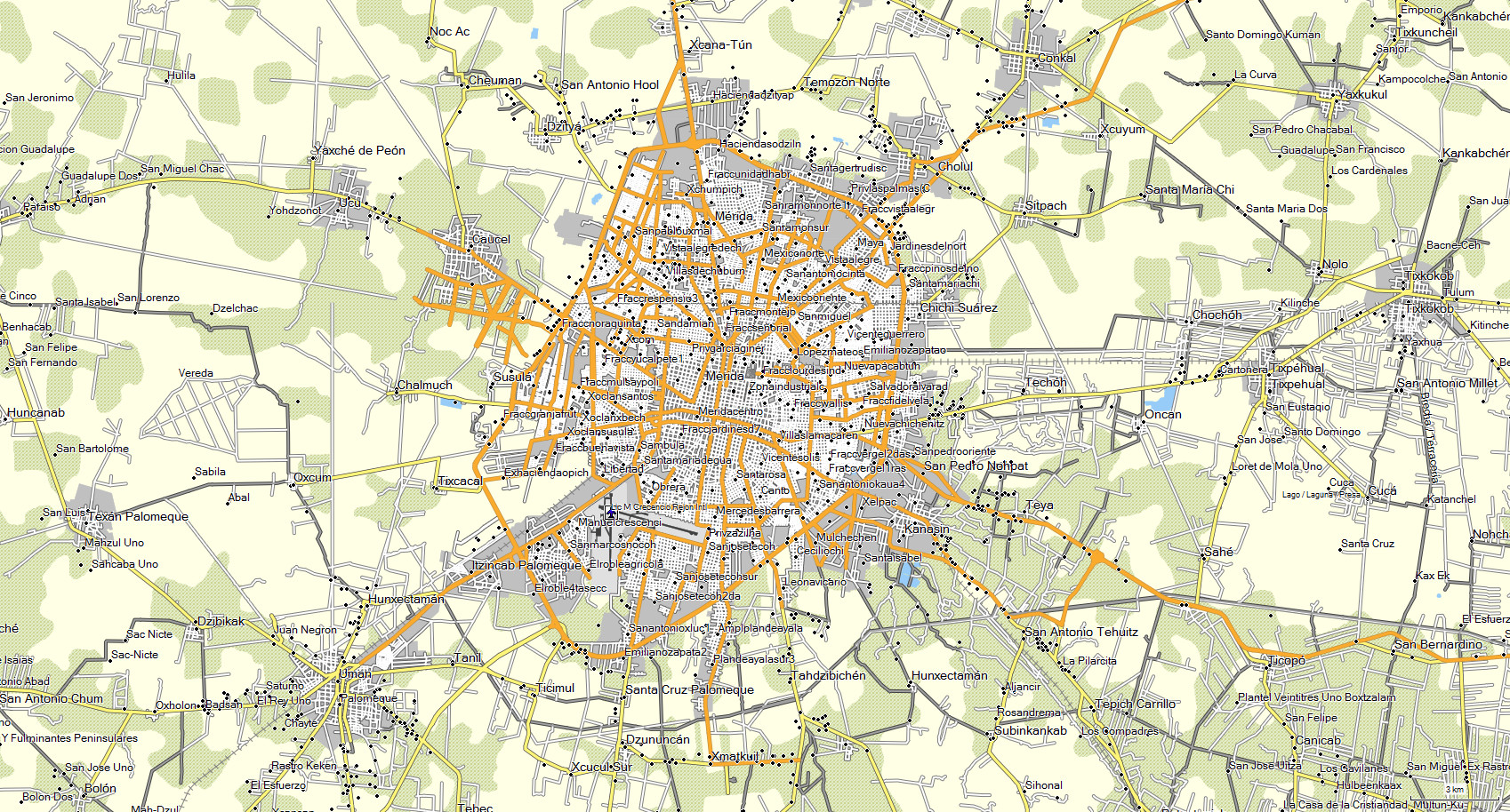
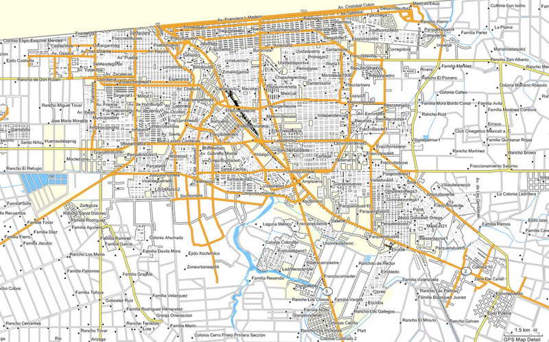
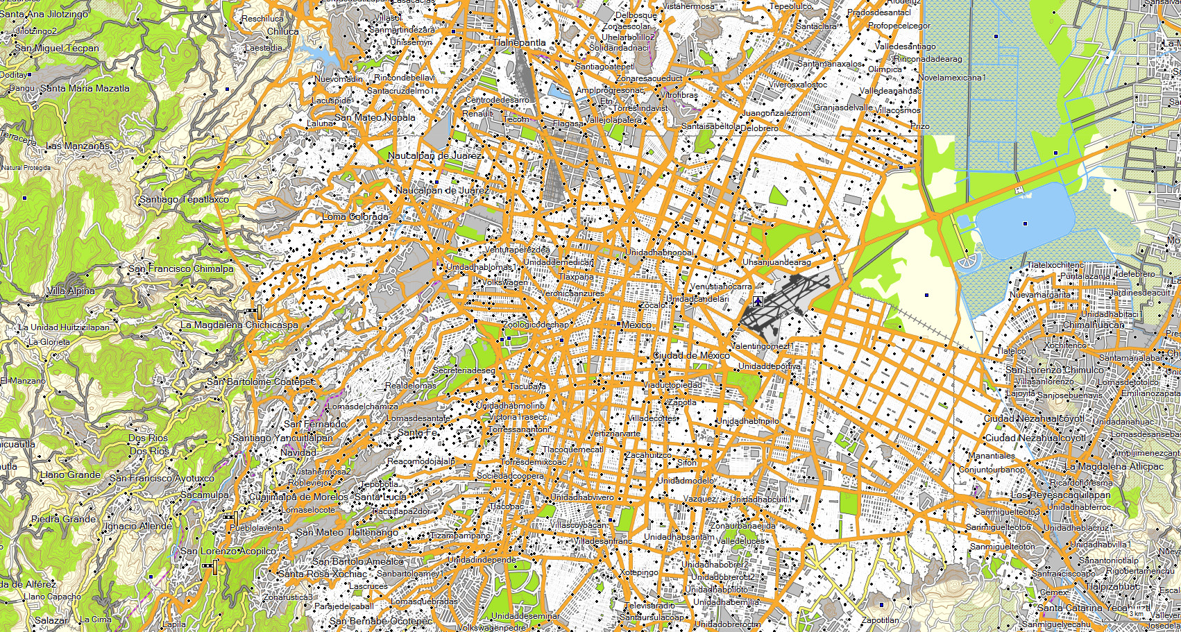
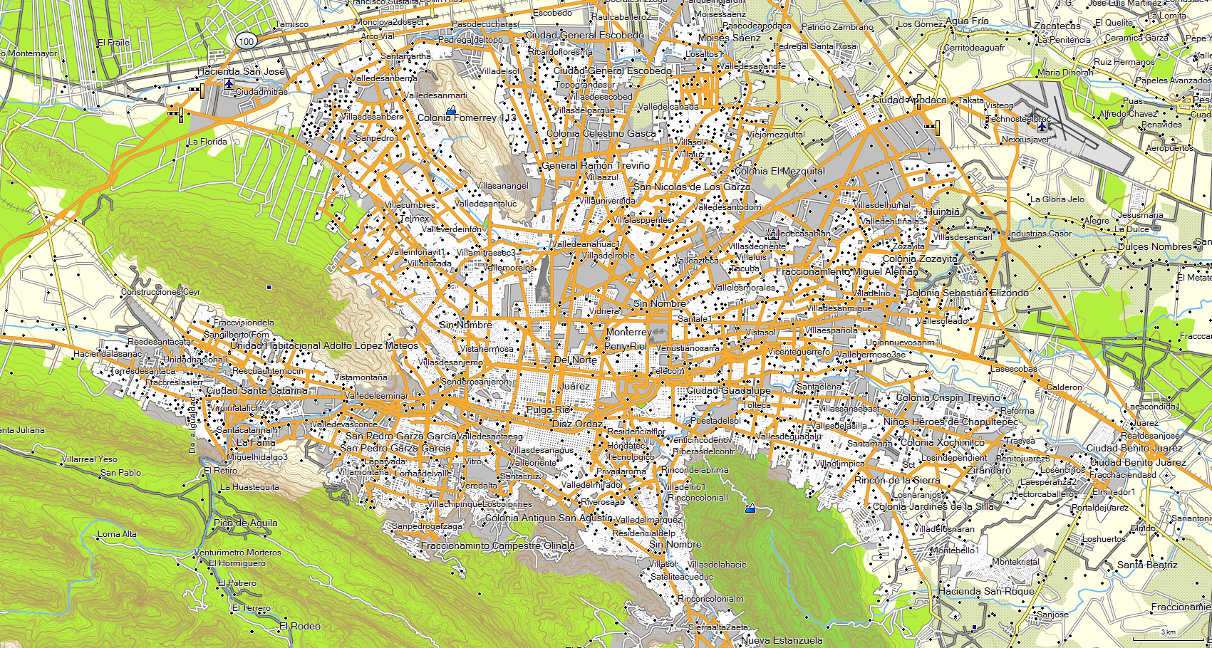
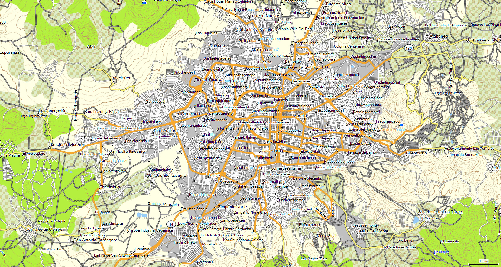
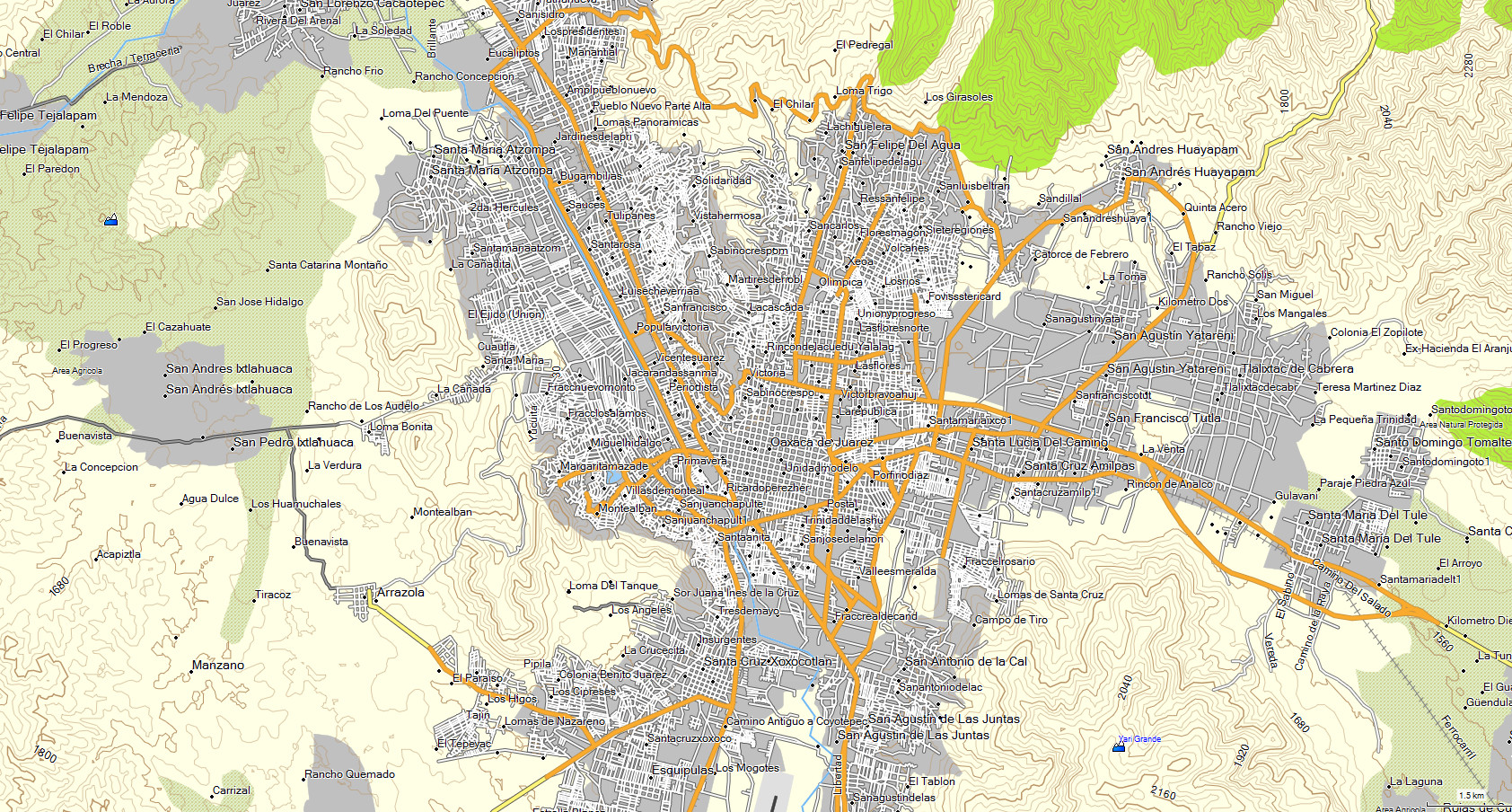
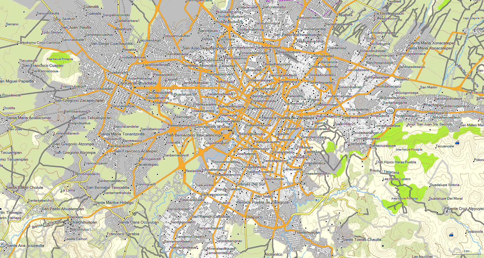
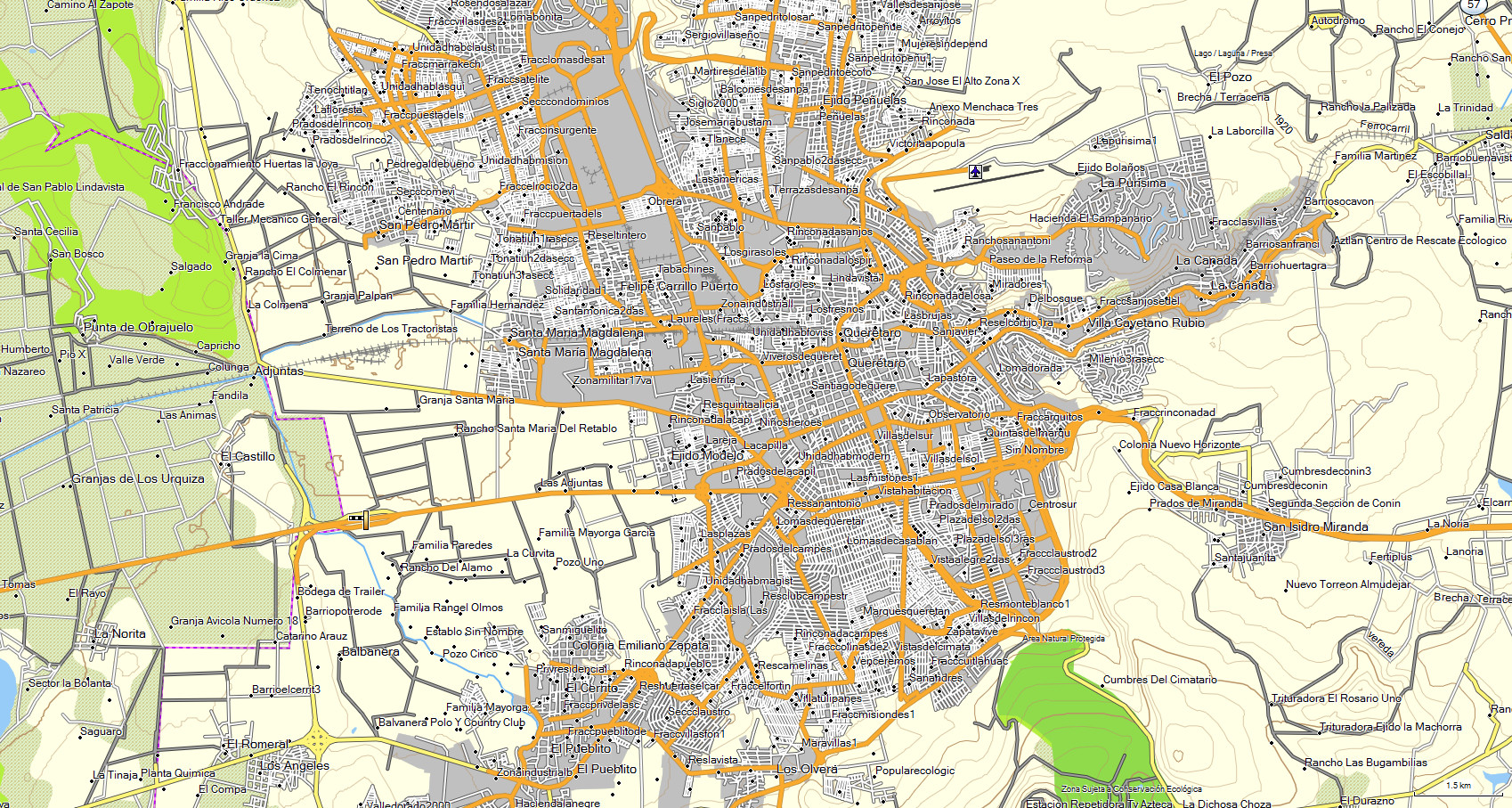
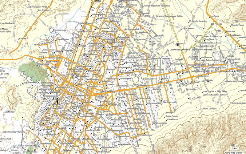
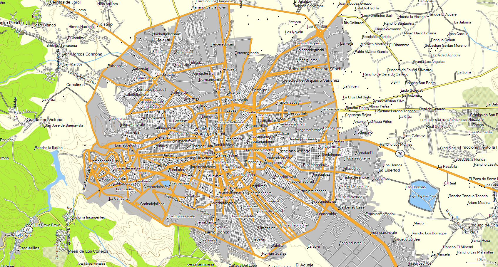
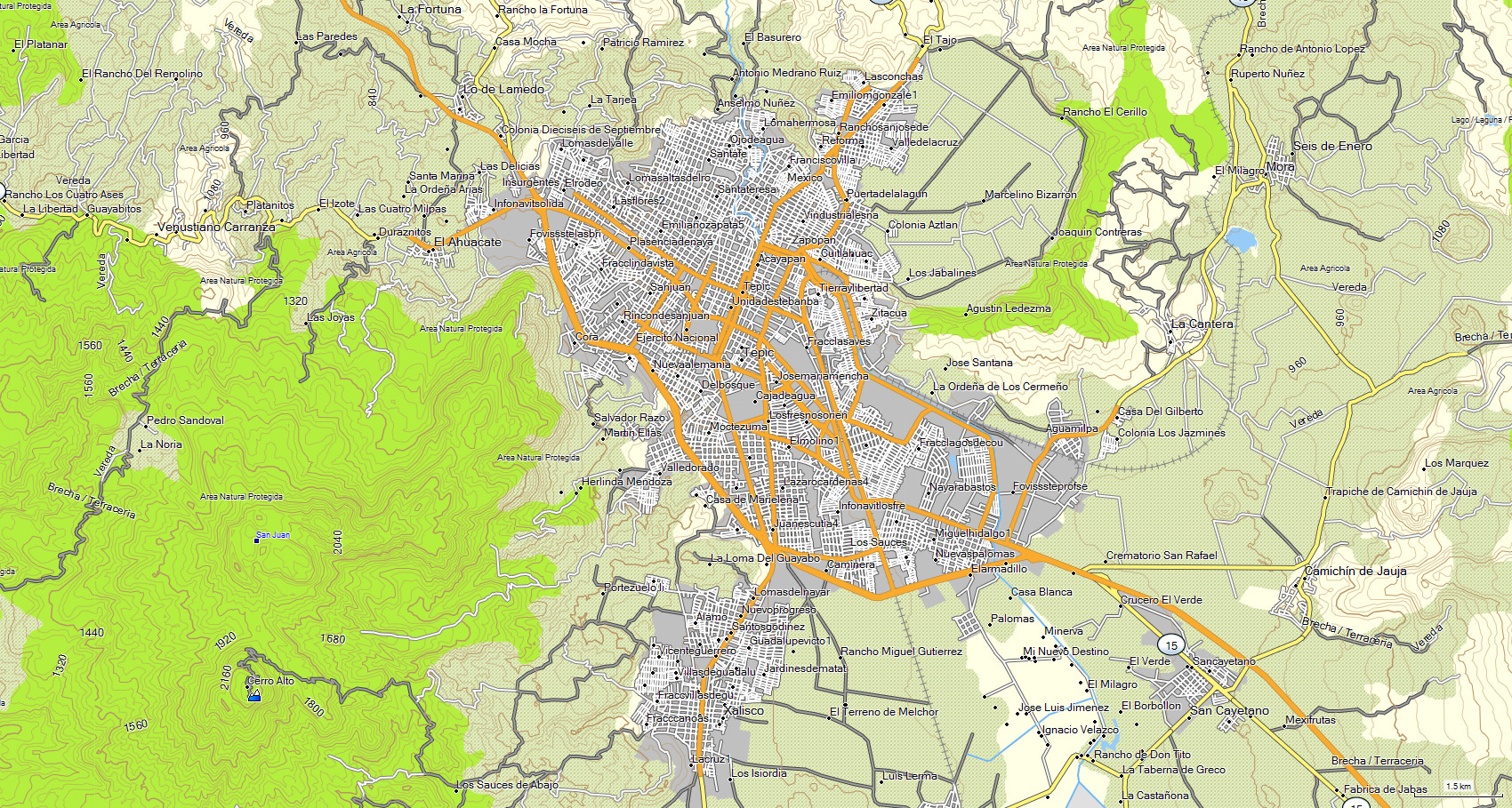
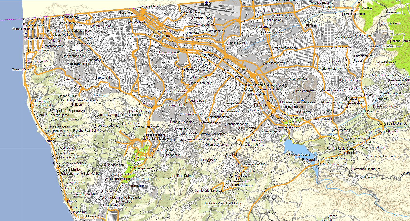
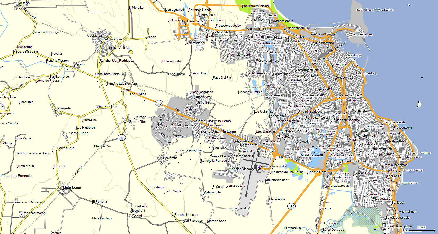
The map features are: - Highways - Roads - Dirt roads - Trails -
Railroad tracks- Cities - Towns - Neighborhoods - Ranches - Airports - Contour lines every 30 mts - Hill names- Points of interest -
Rivers - Toll booths - Rural areas - State lines- Lakes and dams- Nature reserves- Gas stations- Hospitals - Schools - Bus stations -
Shopping malls- Sports areas- Government offices- Markets - Etc.
* The state of CHIHUAHUA is included in MAP E32 along with the rest of the country.