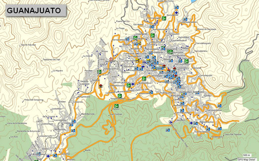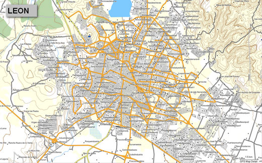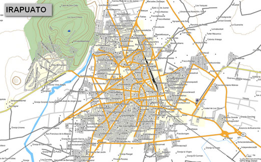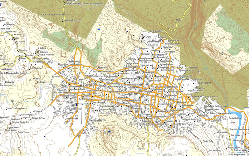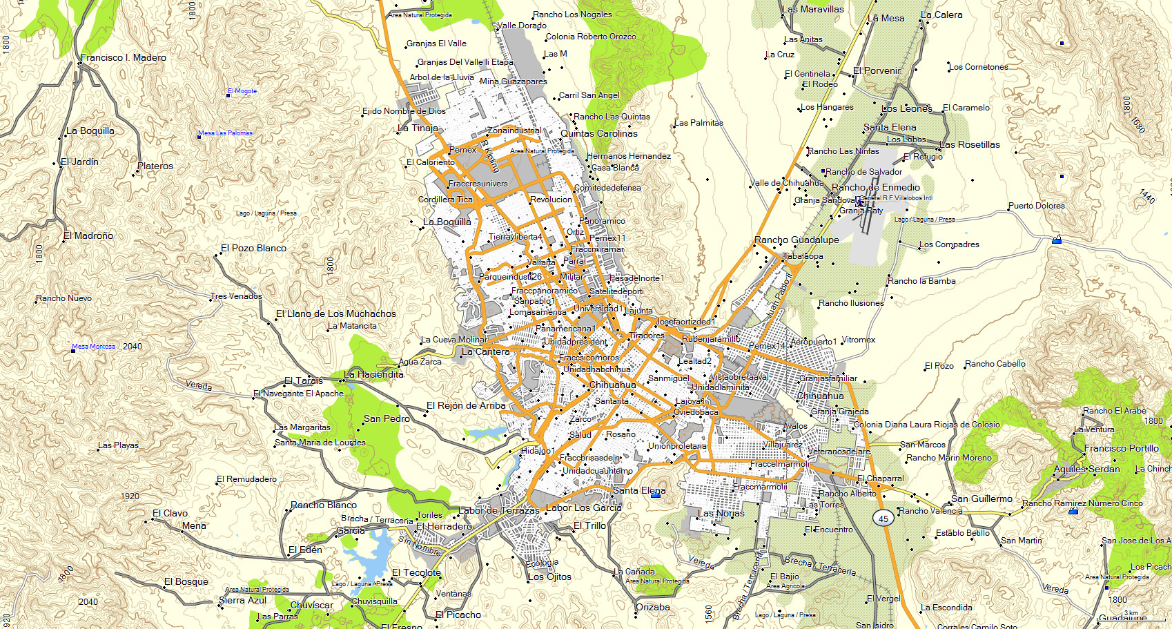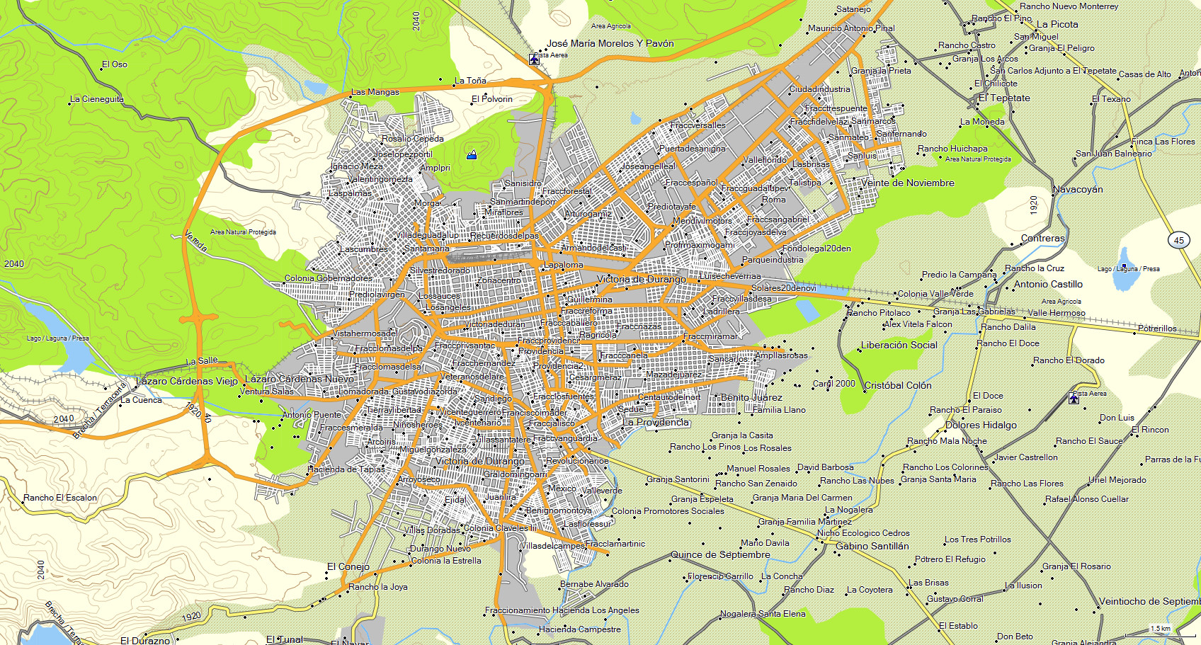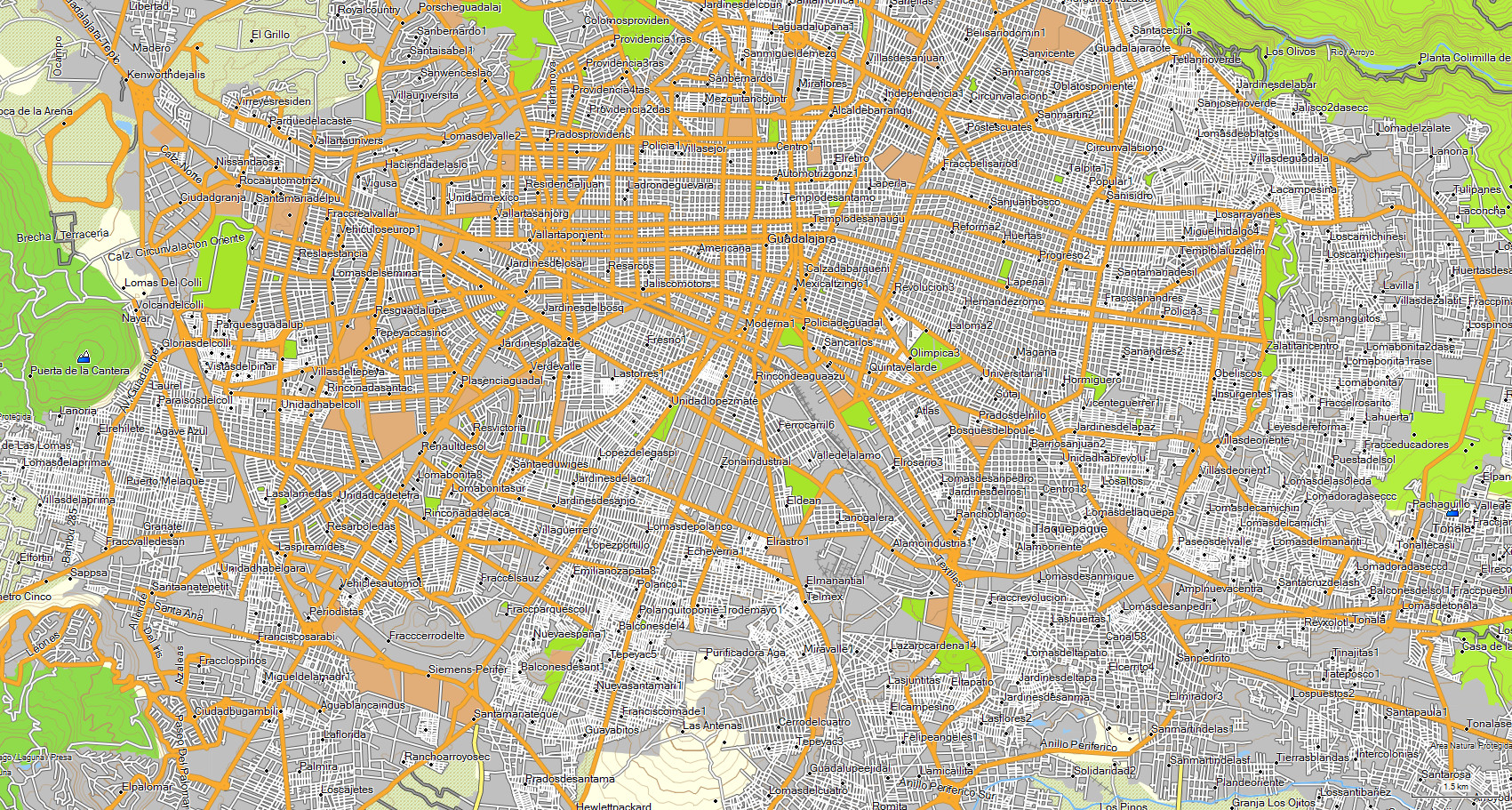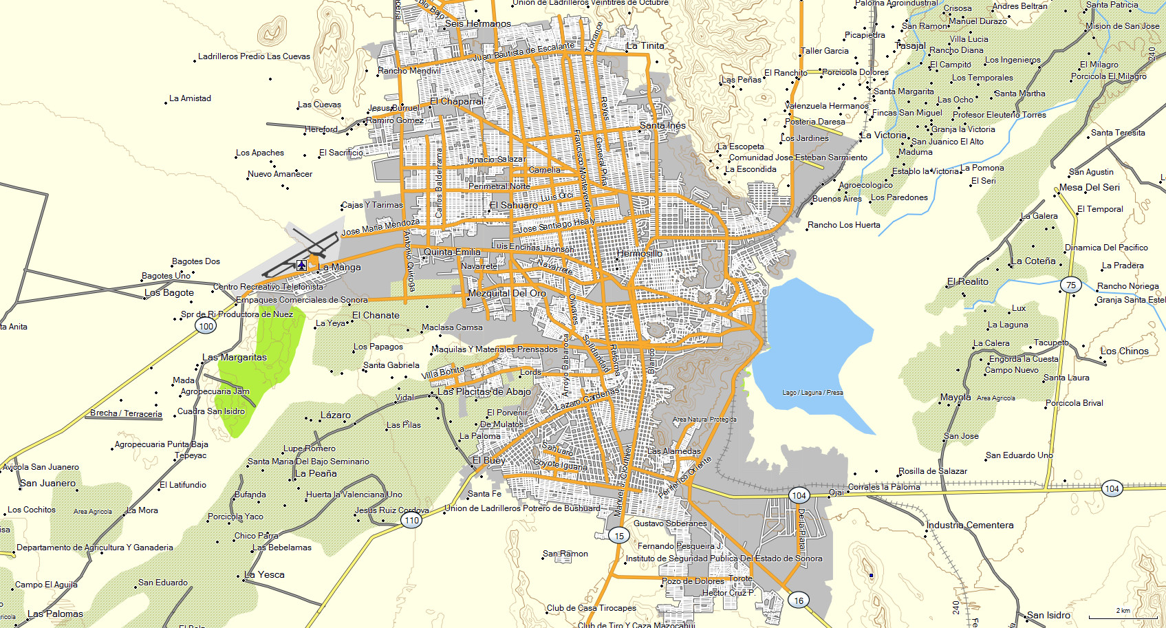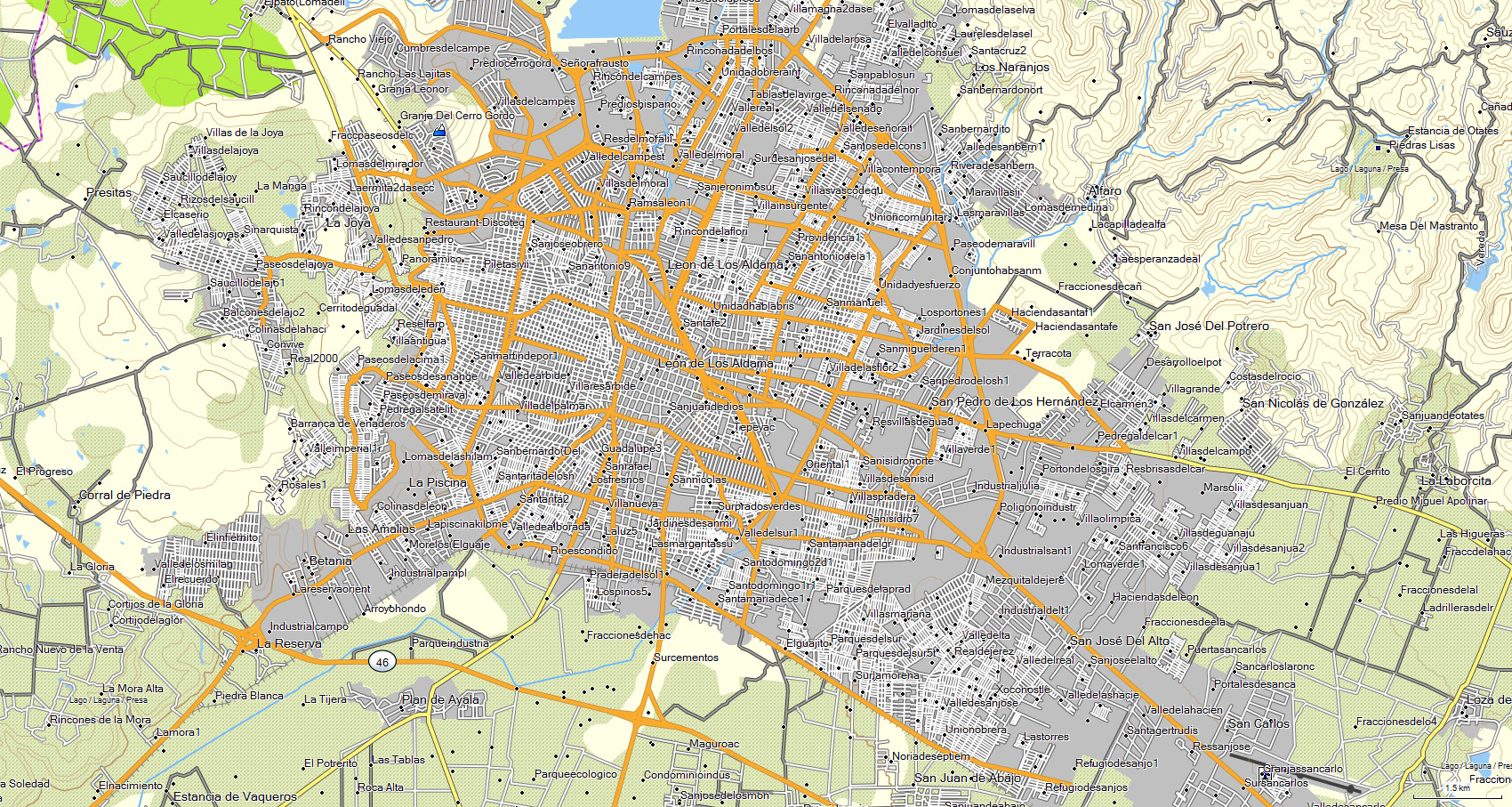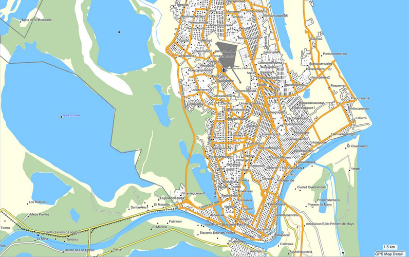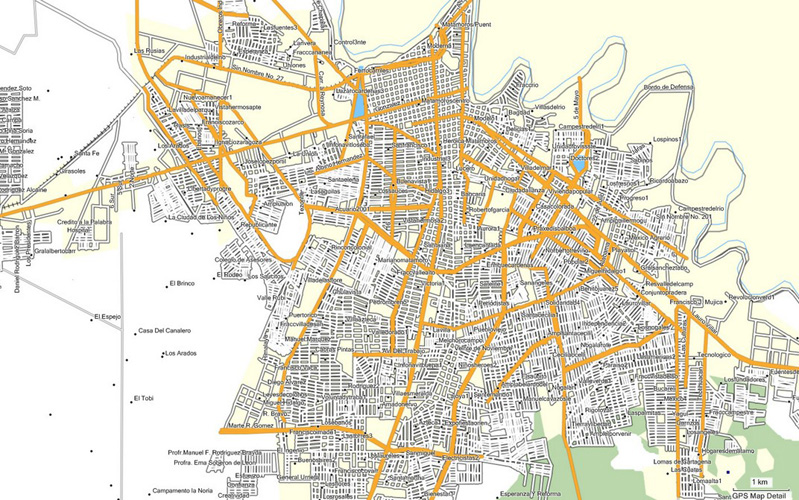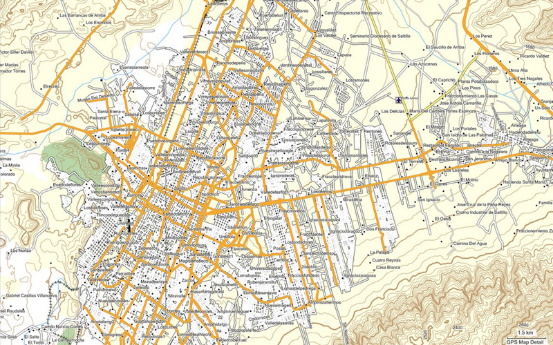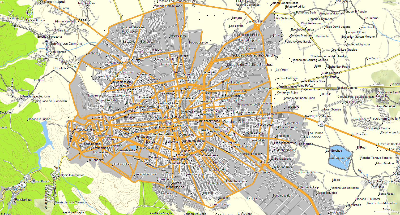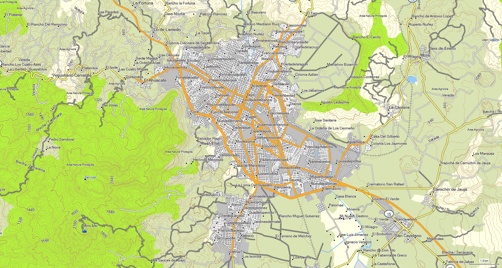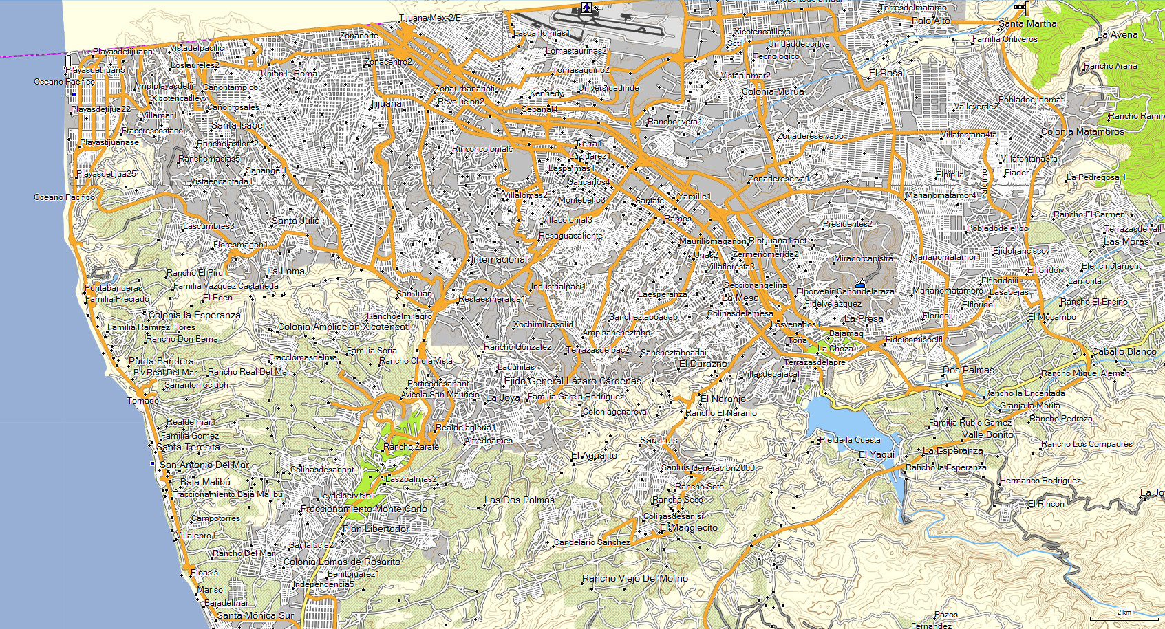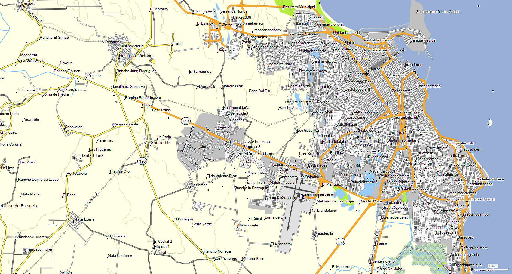
The state of GUANAJUATO includes cities with street and avenue name,
which you can search through entering data such as: State, city, street or street crossing.
Included cities: Celaya, Guanajuato, Irapuato, Leon, Salamanca, San Francisco del Rincon, San Miguel de Allende,
Silao, Abasolo, Acambaro, Apaseo, Cortazar, Comanjilla, Salvatierra, San Felipe, San Jose Iturbide, San Juan del Llanito, San Luis de la Paz,
Uriangato, Mineral de Pozos, Valle de Santiago, Moroleon, Yuriria, Penjamo.
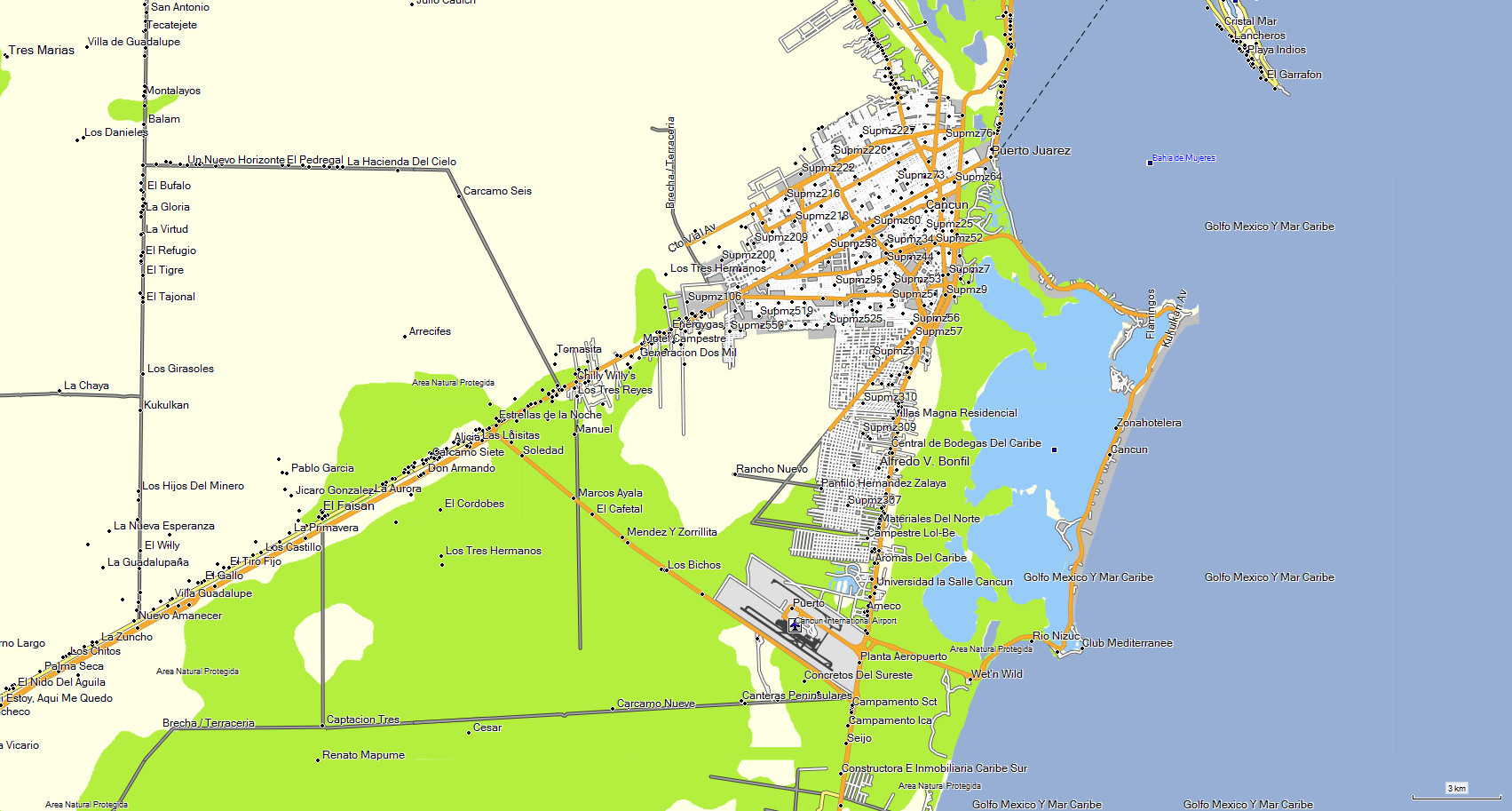
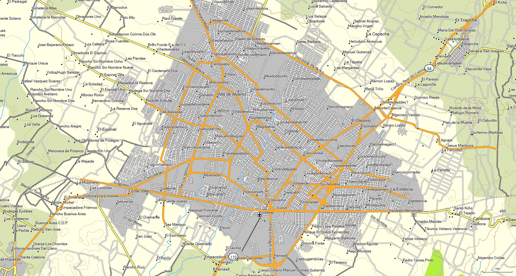
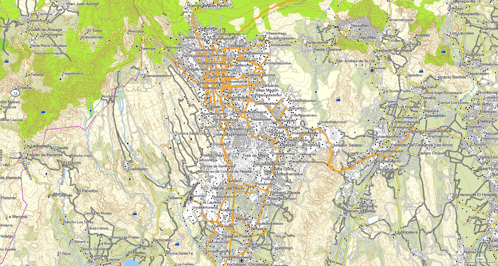
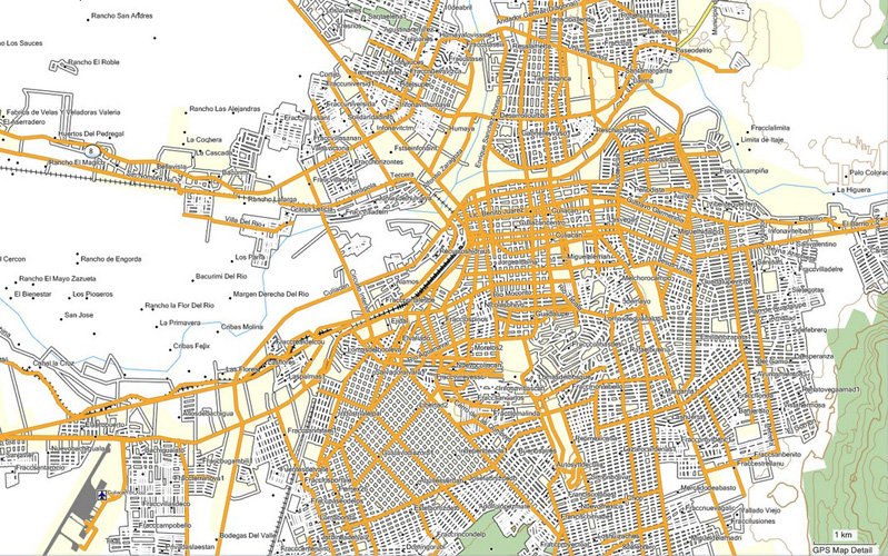
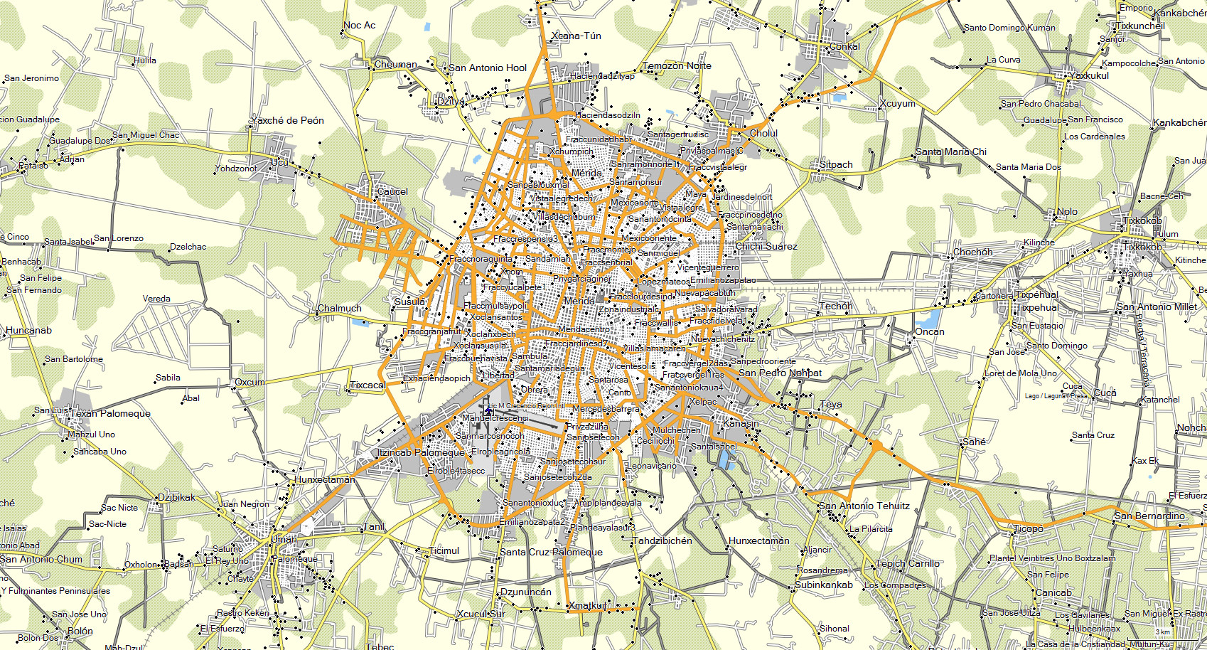
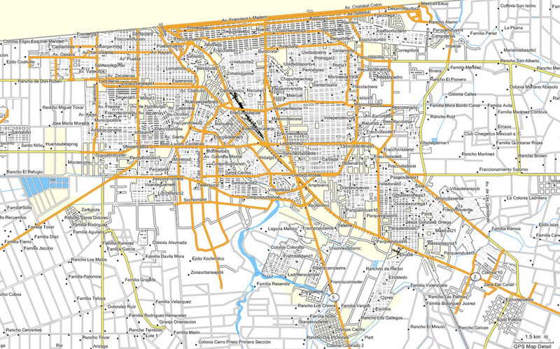
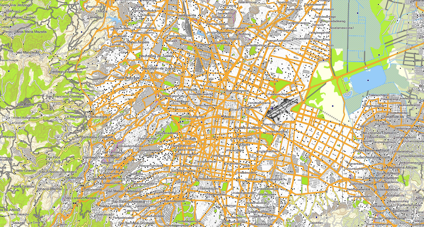
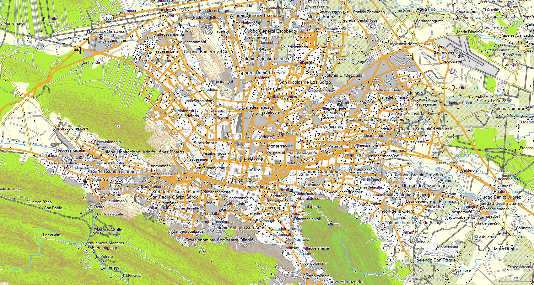
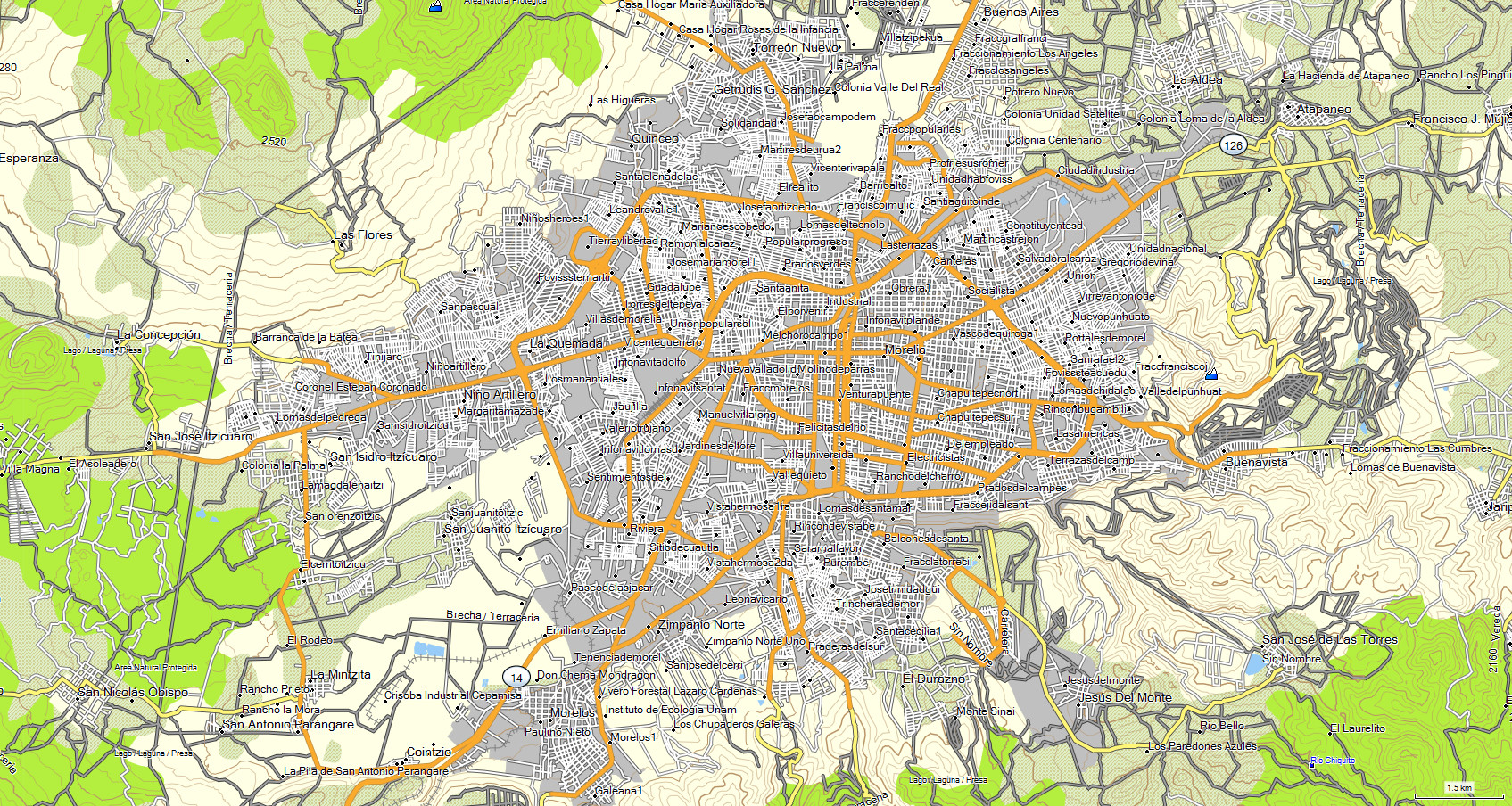
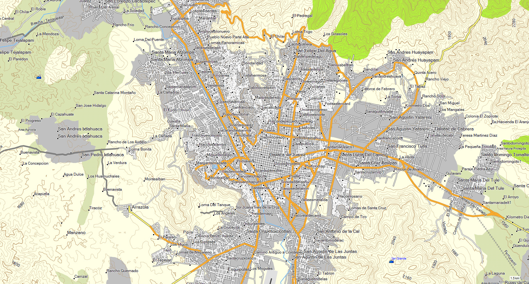
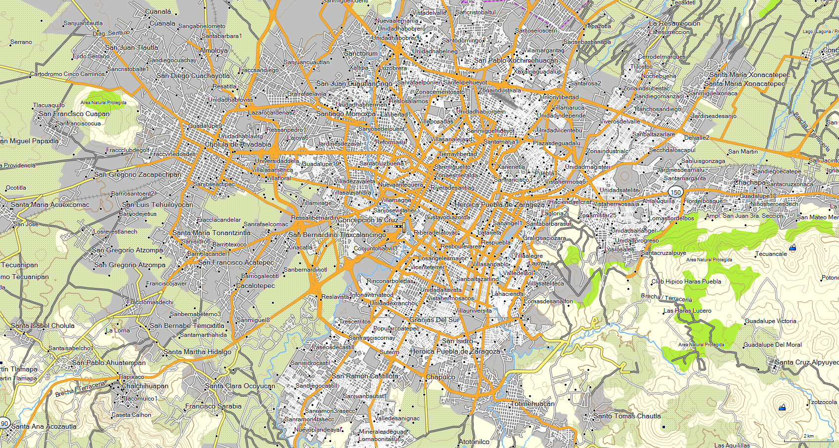
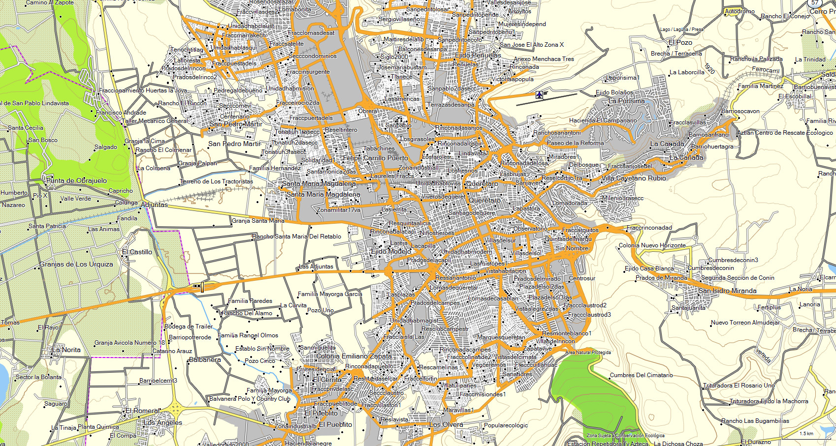
The map features are: - Highways - Roads - Dirt roads - Trails -
Railroad tracks- Cities - Towns - Neighborhoods - Ranches - Airports - Contour lines every 30 mts - Hill names- Points of interes t- Rivers -
Toll booths - Rural areas - State lines- Lakes and dams- Nature reserves- Gas stations- Hospitals - Schools - Bus stations - Shopping malls-
Sports areas- Government offices- Markets - Etc.
* The state of GUANAJUATO is included in MAP E32 along with the rest of the country.