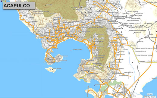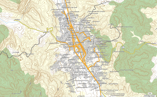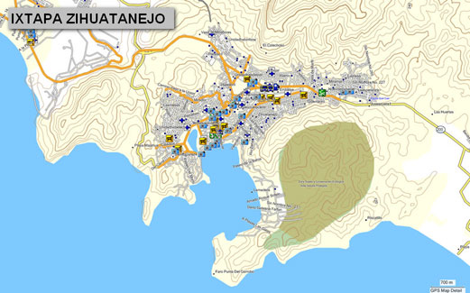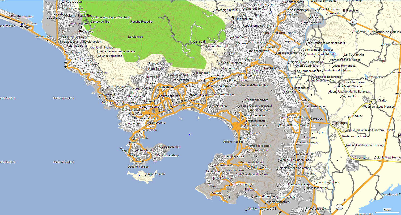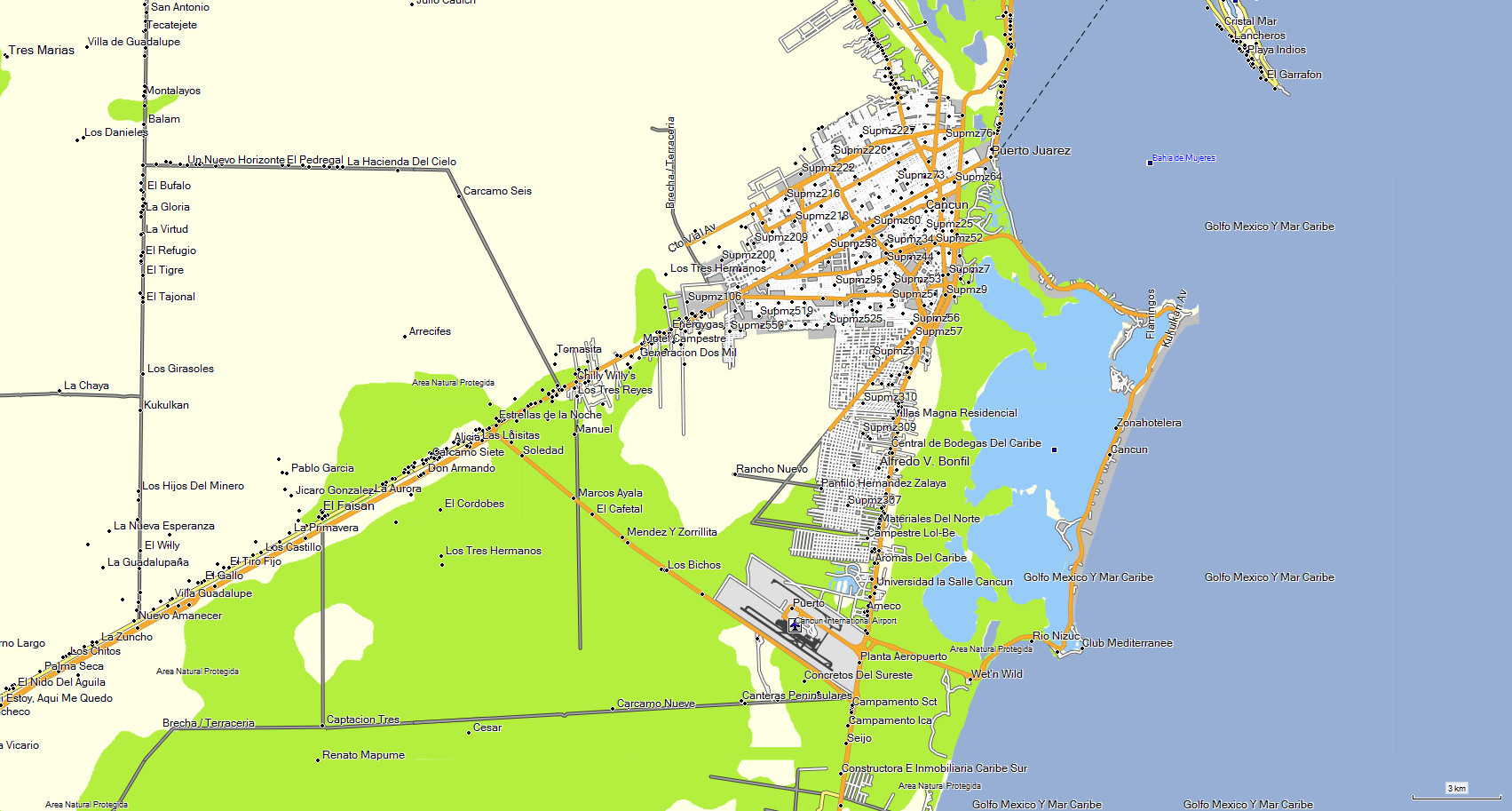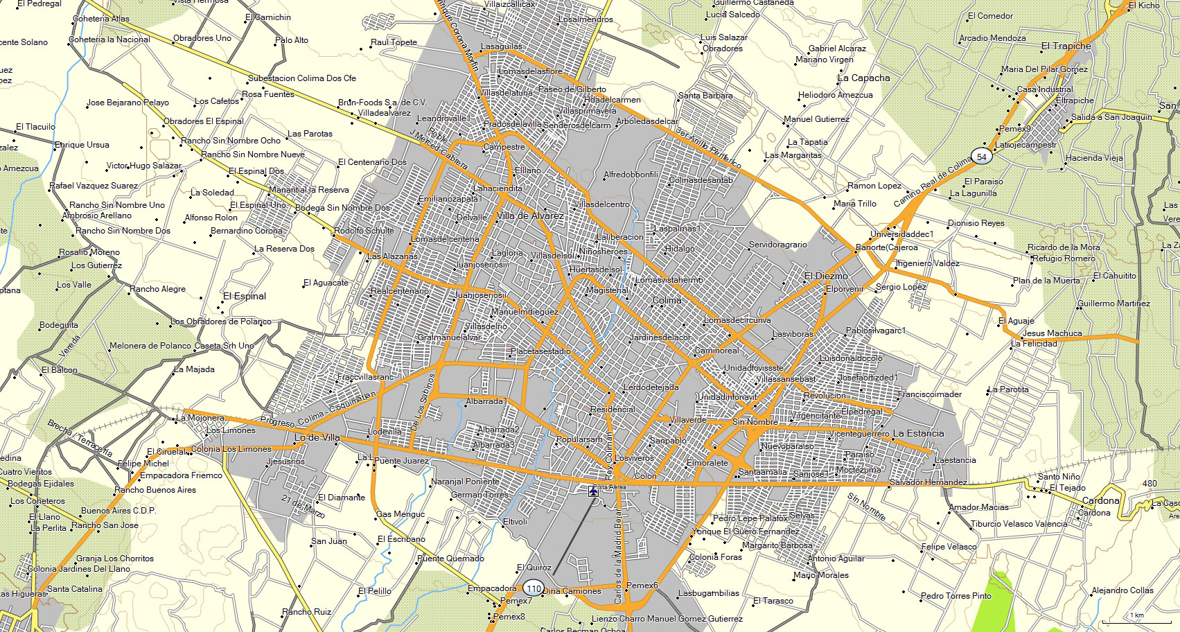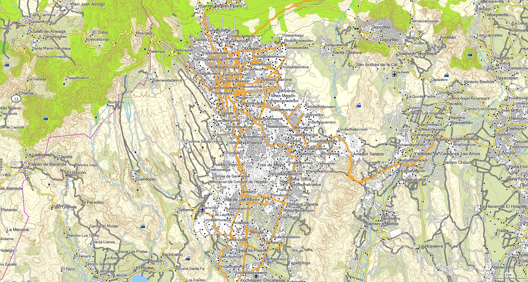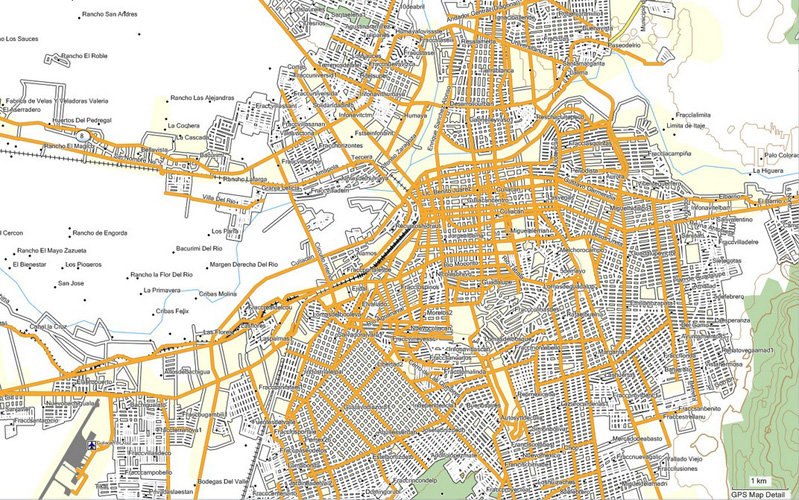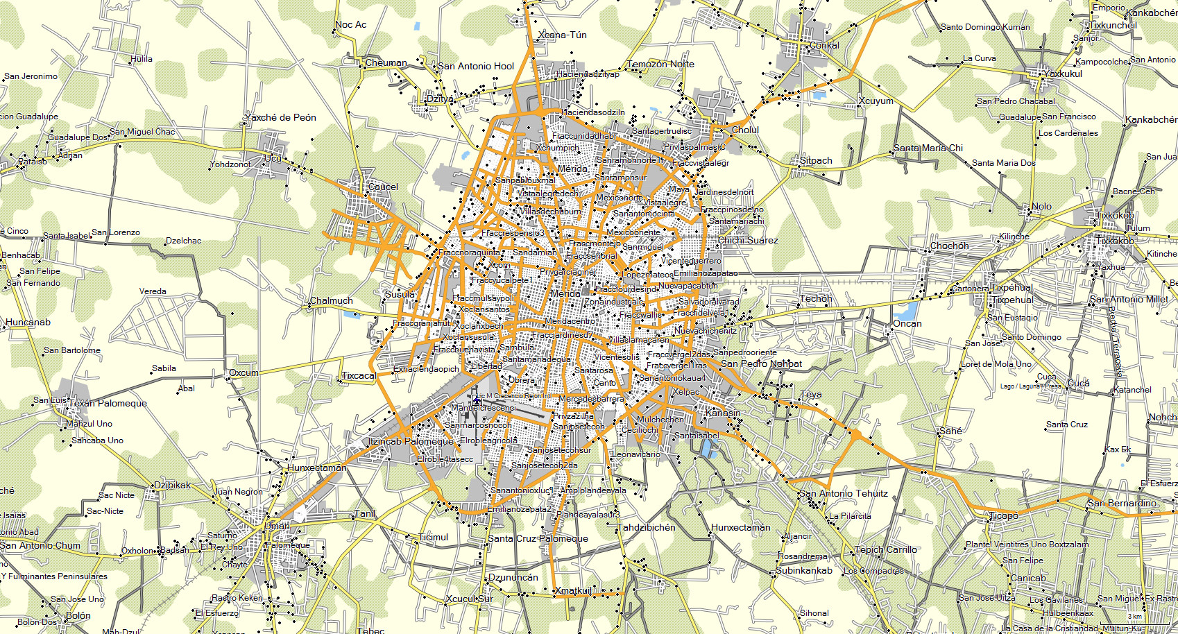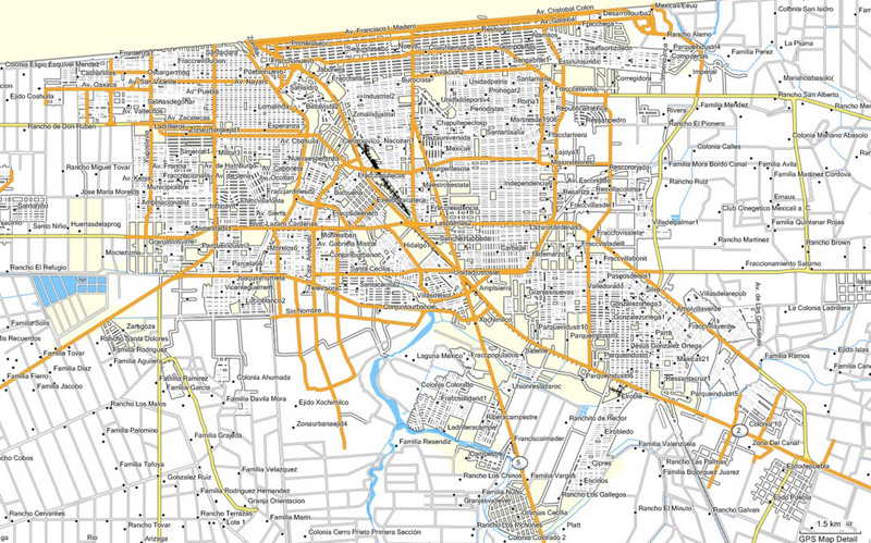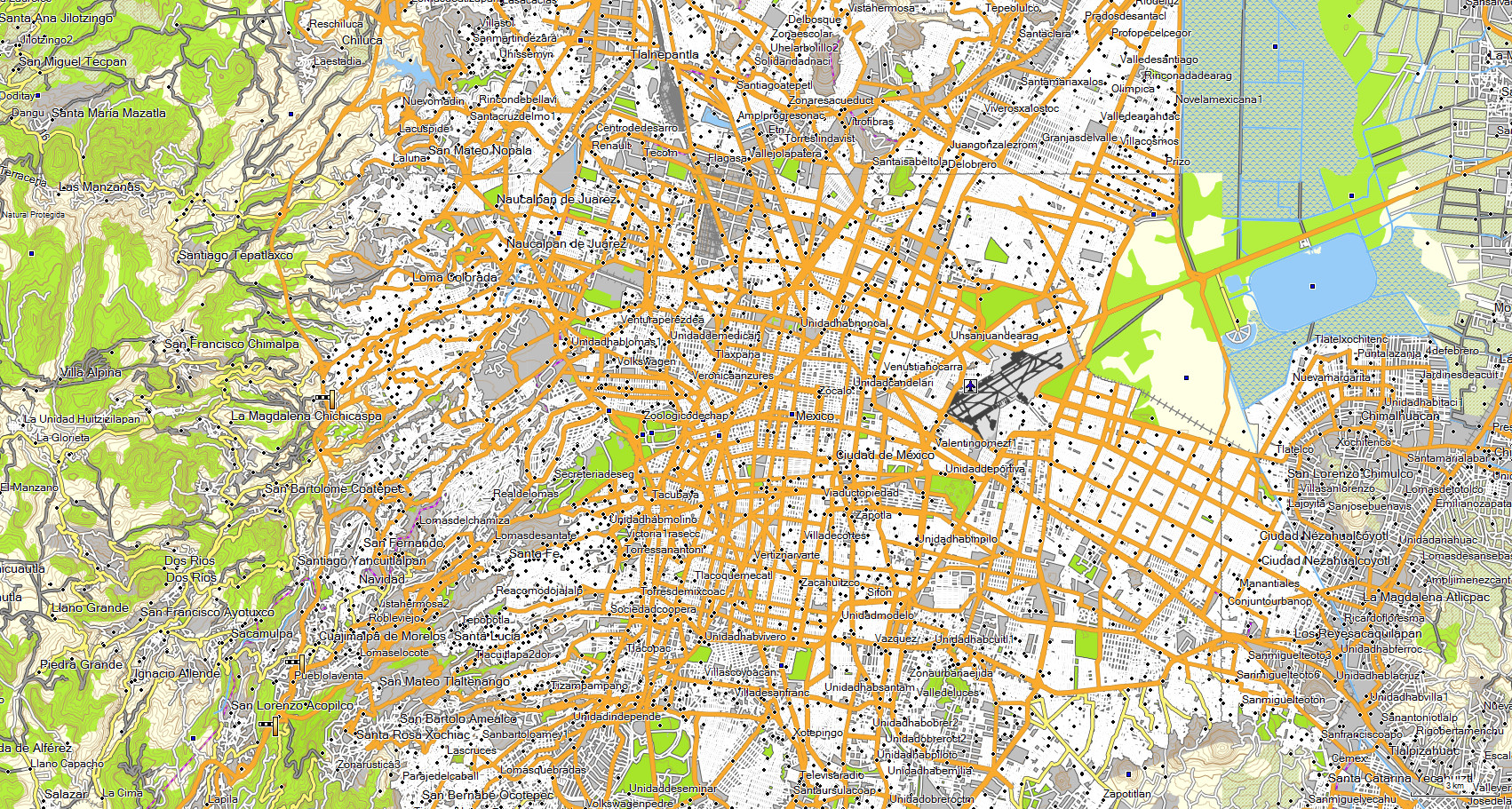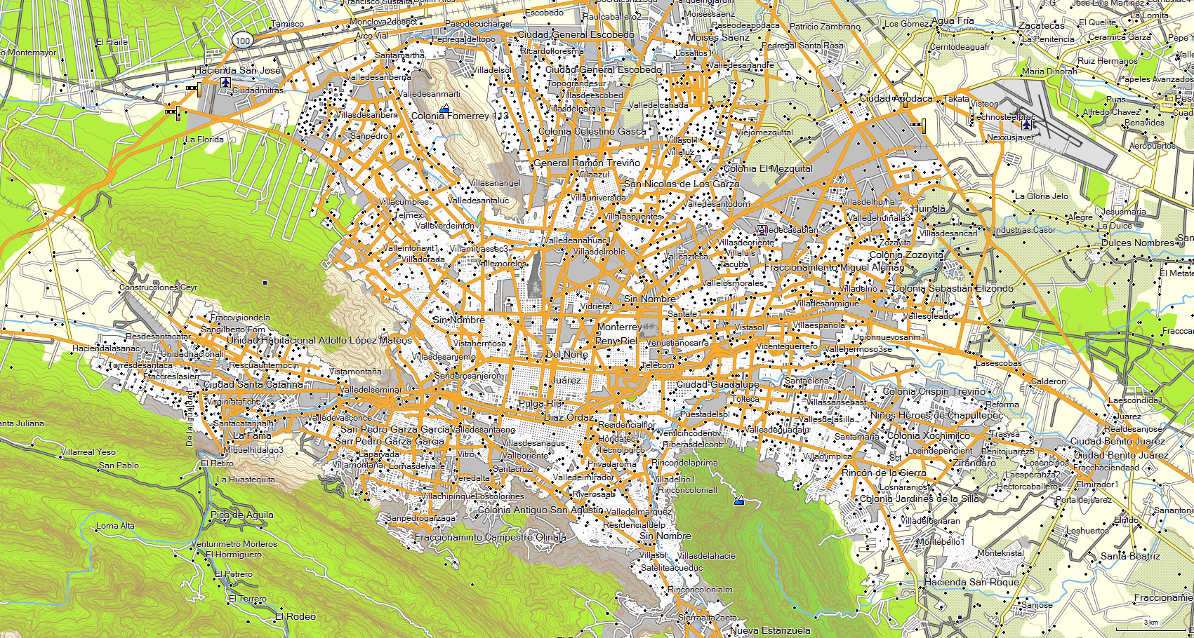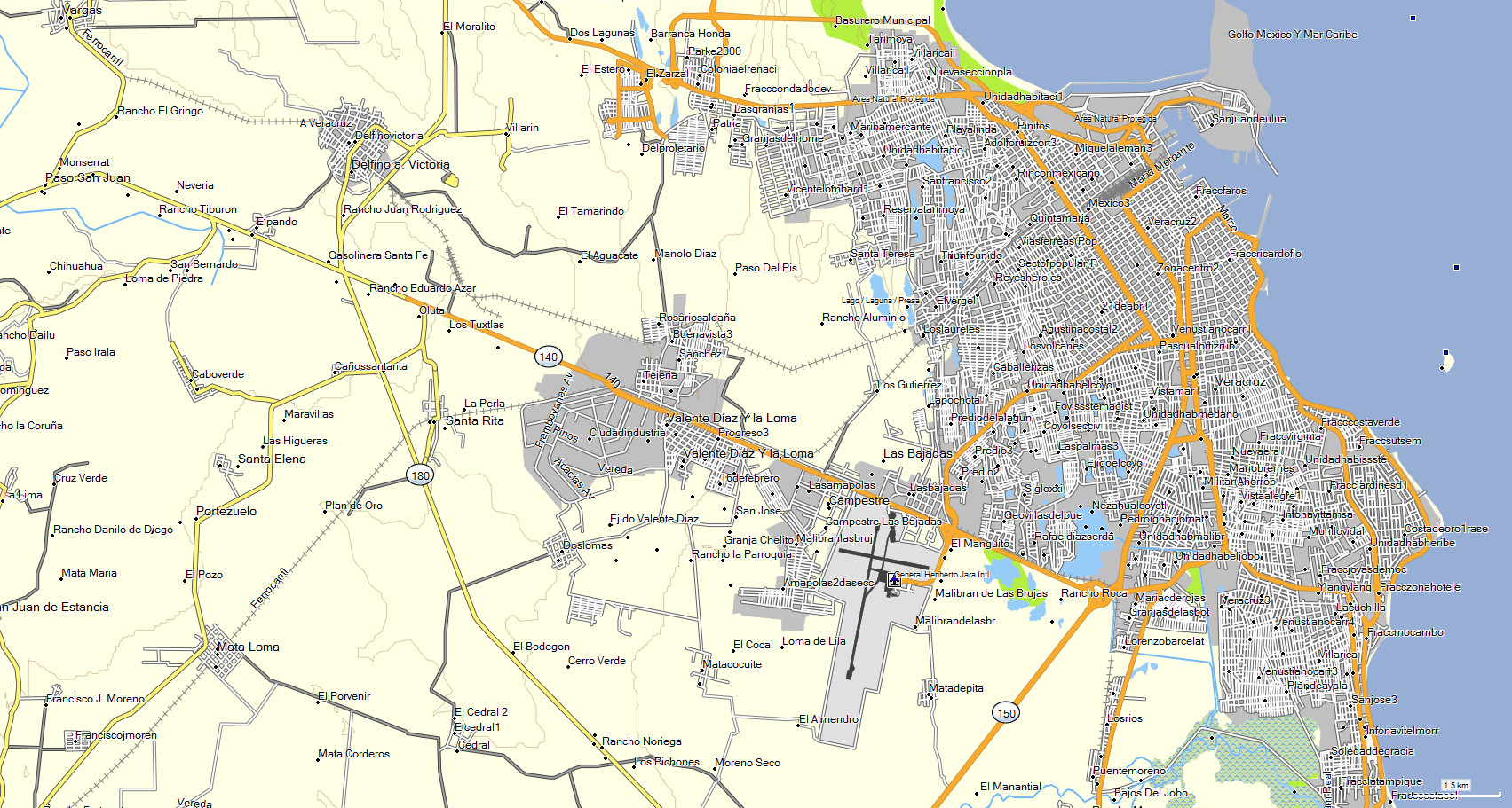
The state of GUERRERO includes cities with street and avenue name,
which you can search through entering data such as: State, city, street or street crossing.
Included cities: Acapulco • Iguala • Apaxtla • Ixcateopan de Cuauhtemoc • Arcelia • Ixtapa / Zihuatanejo •
Atoyac de Alvarez • Marquelia • Barra de Potosi • Papanoa • Buenavista de Juarez • Pie de la Cuesta • Chilapa • Taxco • Chilpancingo •
Tecpan de Galeana • Ciudad Altamirano • Tierra Colorada • Cuajinicuilapa • Troncones • Huamuxtitlan
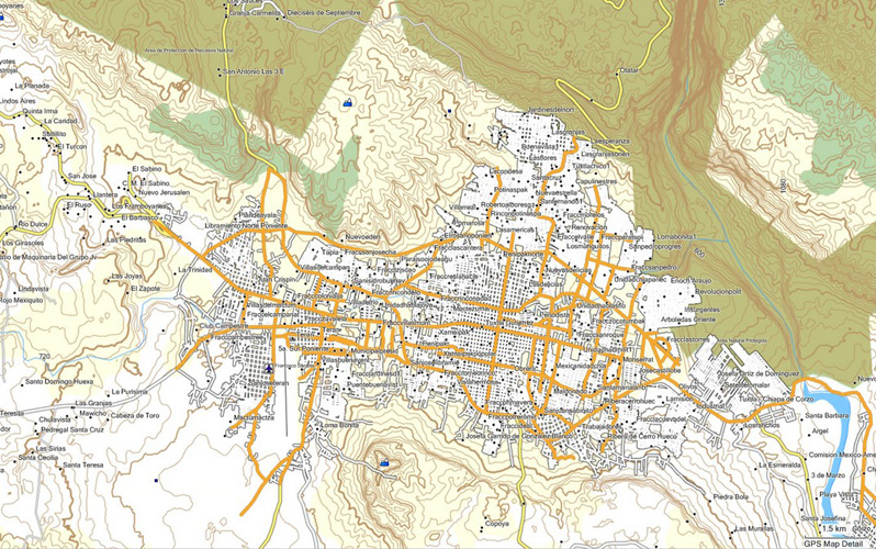
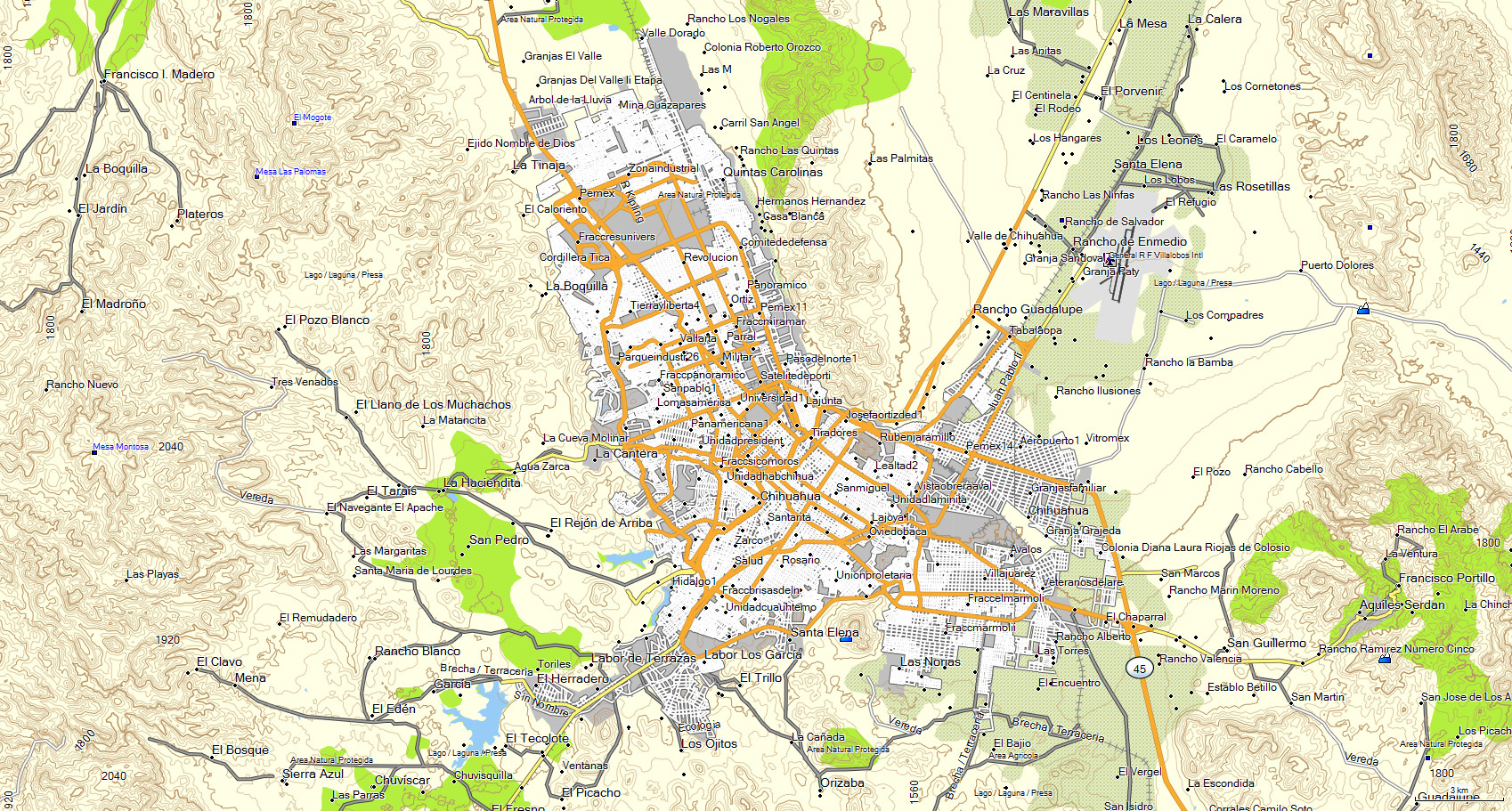
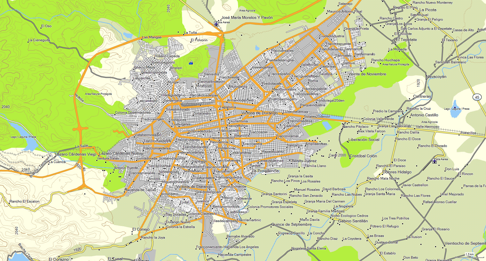
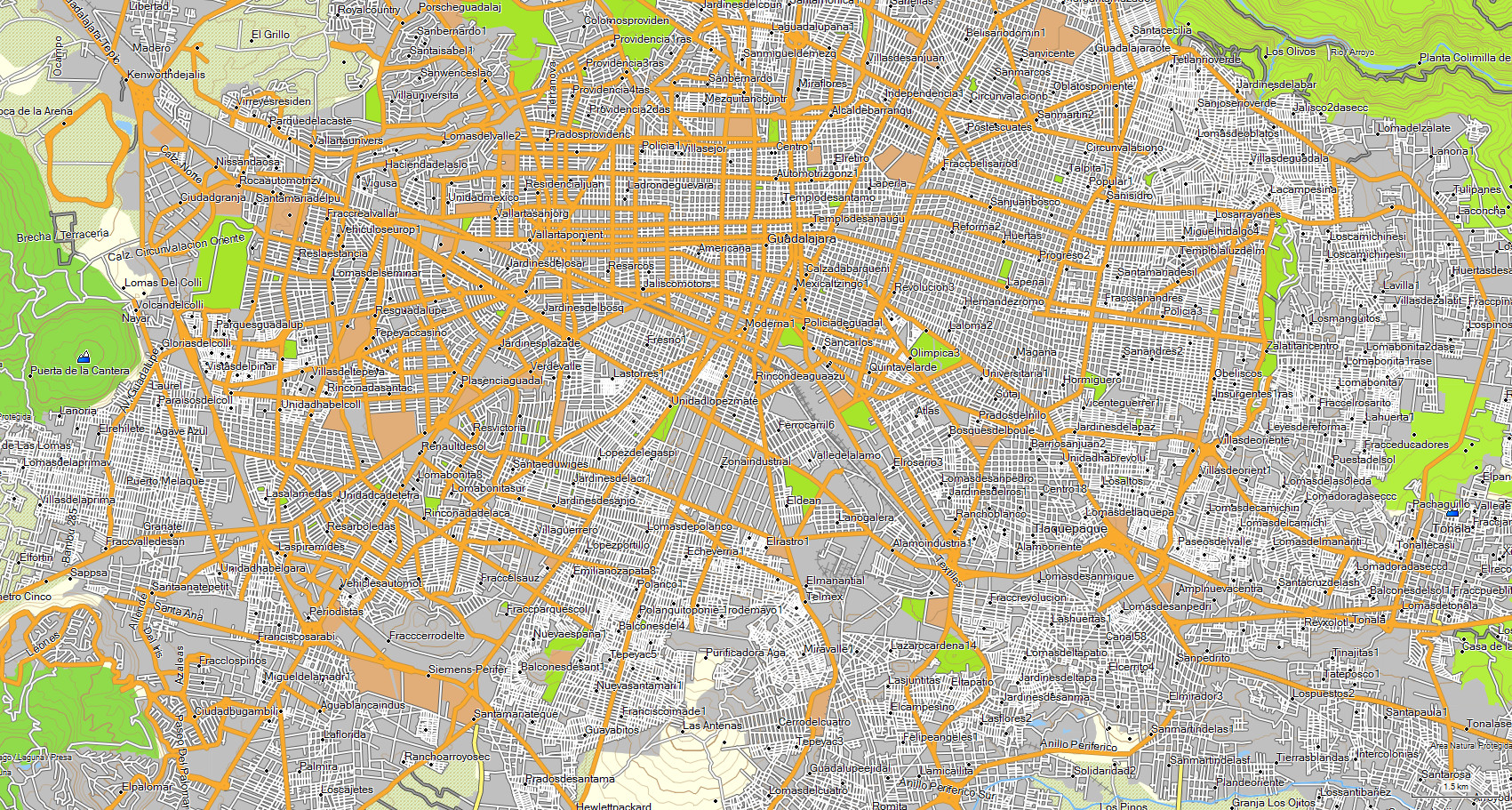
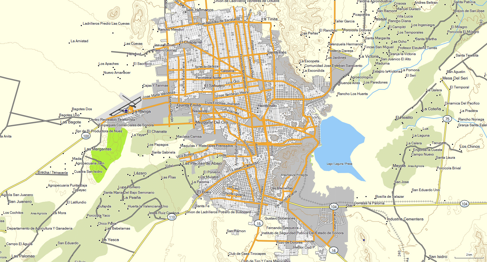
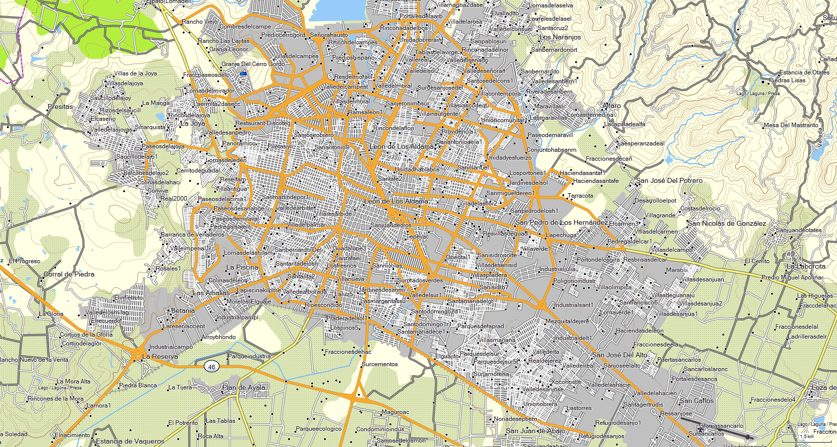
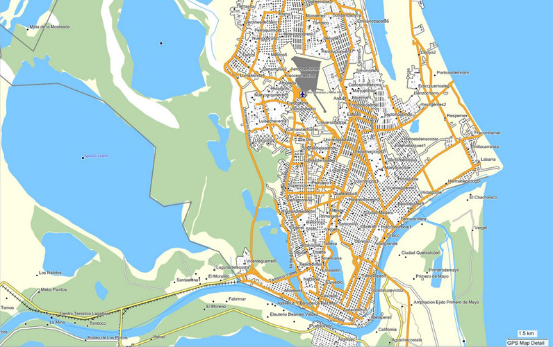
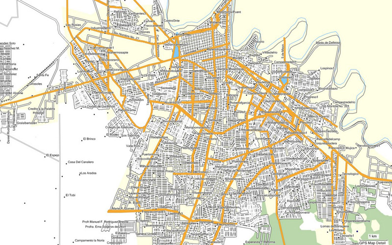
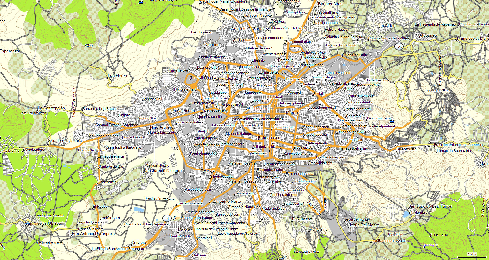
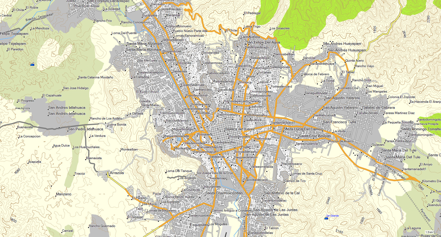
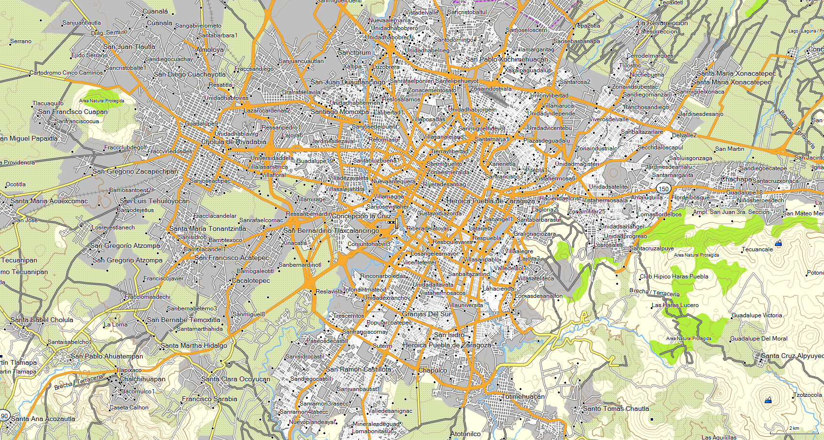
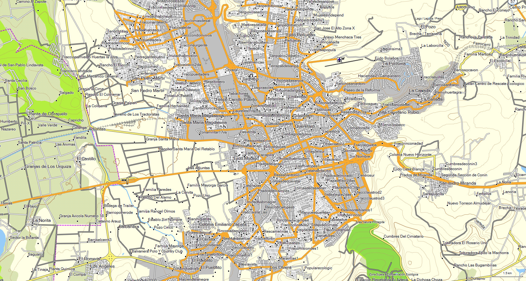
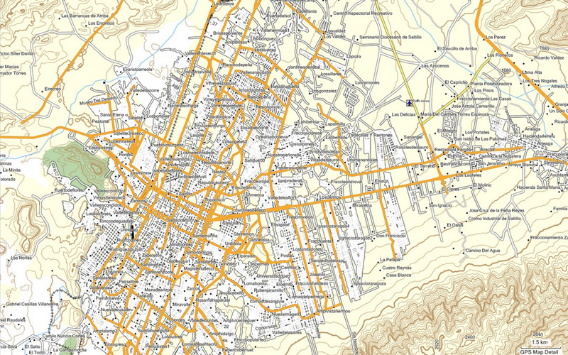
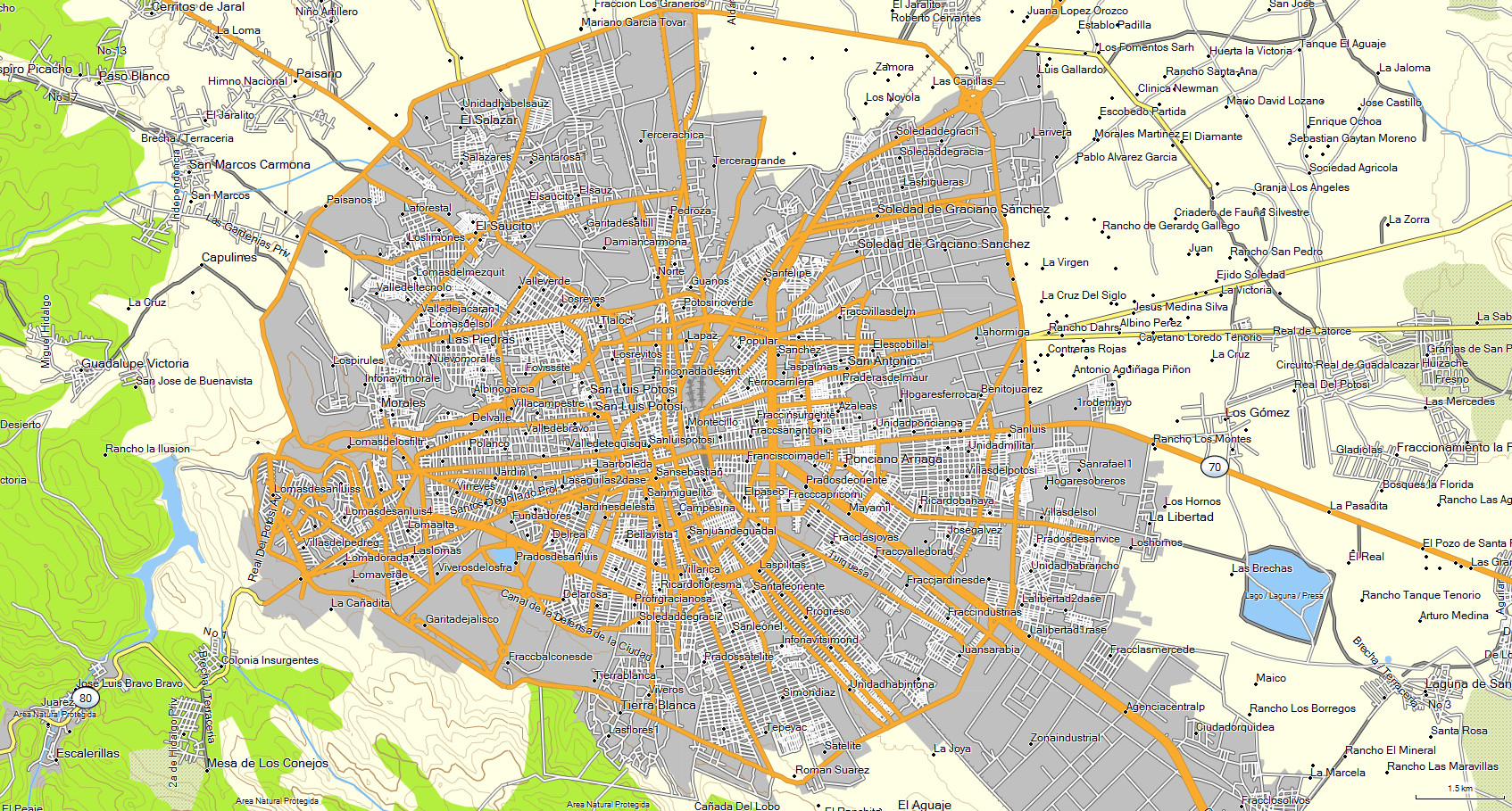
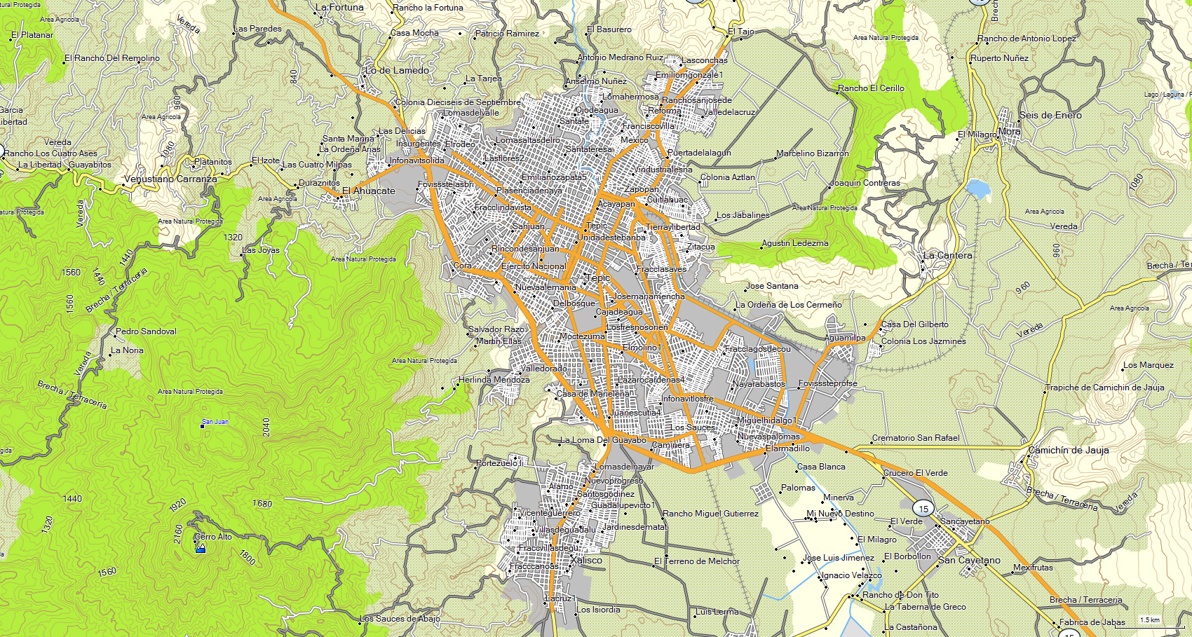
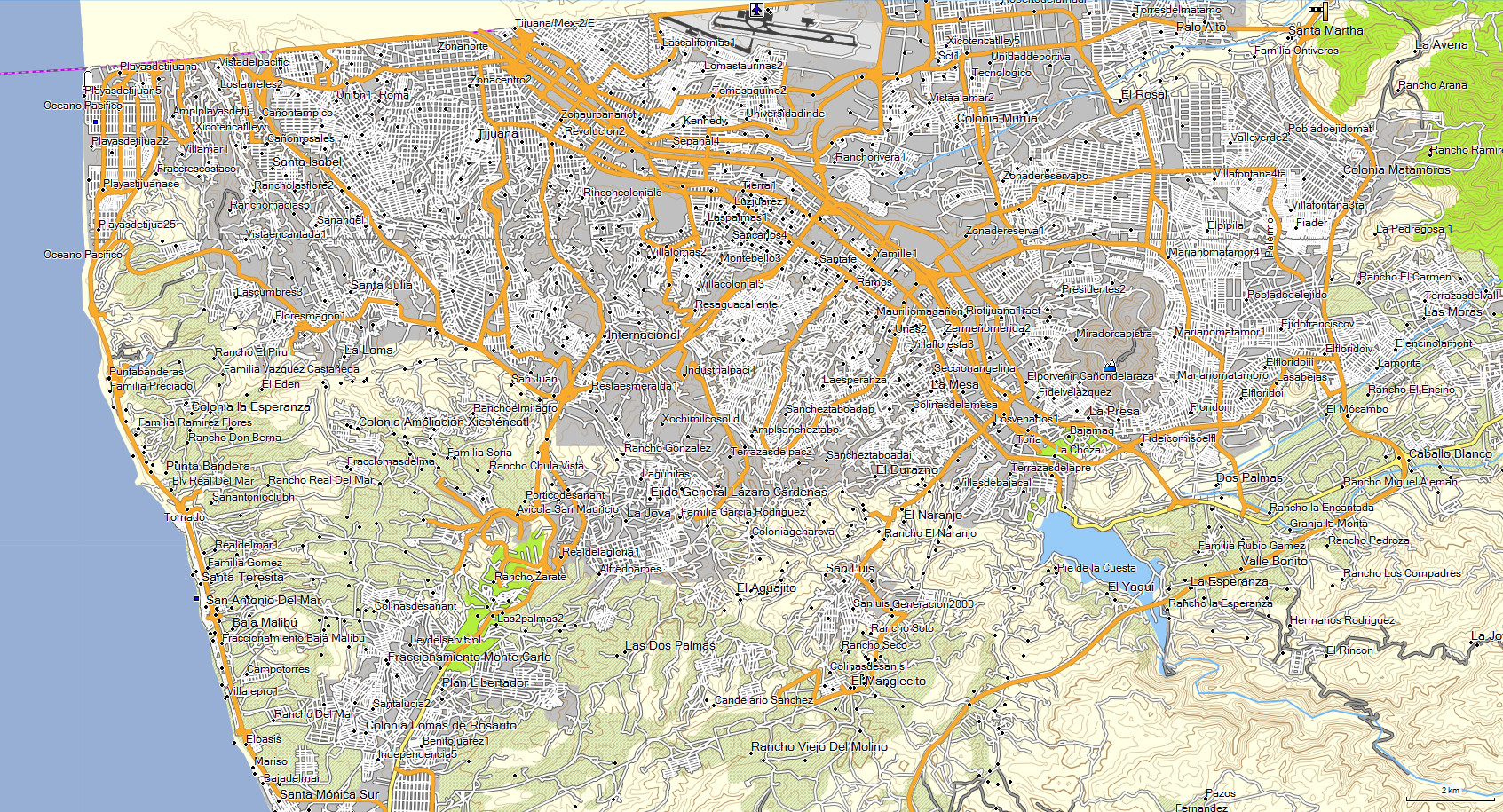
The map features are: - Highways - Roads - Dirt roads - Trails -
Railroad tracks- Cities - Towns - Neighborhoods - Ranches - Airports - Contour lines every 30 mts - Hill names- Points of interes t- Rivers -
Toll booths - Rural areas - State lines- Lakes and dams- Nature reserves- Gas stations- Hospitals - Schools - Bus stations - Shopping malls-
Sports areas- Government offices- Markets - Etc.
* The state of GUERRERO is included in MAP E32 along with the rest of the country.